A walk can be a dangerous thing. As Bilbo Baggins observed, paths flow into roads that can lead anywhere, to Rivendell and to Mordor. But they can also lead to anywhen.
I’ve always been fascinated by how the geography of Britain has changed, with generations of farmers nibbling at the sea, while the sea gnaws the coast. Mersea, a tidal island in the Colne Estuary, demonstrates this vividly. And who wouldn’t want to walk around an island?
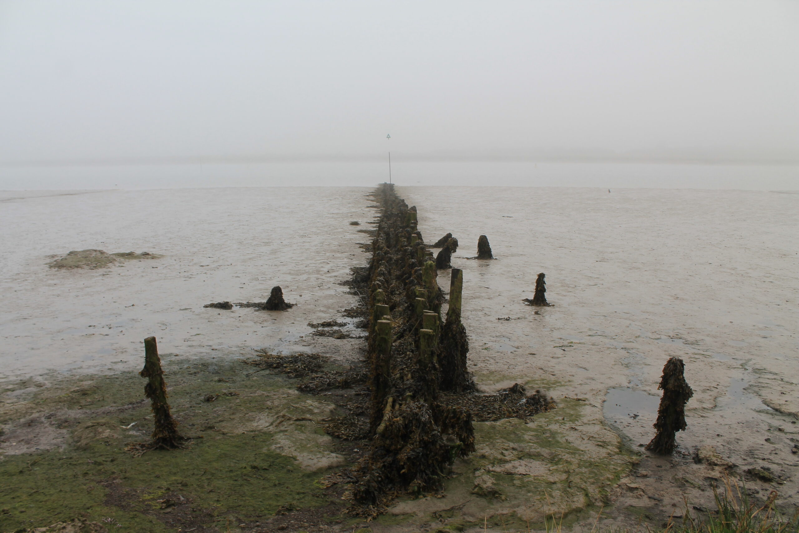
To avoid the July heat, I crossed The Strood, the causeway linking Mersea to the mainland, at dawn. Now tarmac, and regularly inundated at high spring tides, The Strood is itself a link to the past, for the causeway was first laid around 700 AD, when an Anglo-Saxon magnate ordered three to five thousand oak pilings to be sunk into the underlying clay. Oak pilings don’t talk, and later Viking invaders destroyed pretty well all written records in East Anglia and Essex, but one candidate as builder was the monk-king, Sæbbi of Essex, who abdicated to devote himself to prayer.
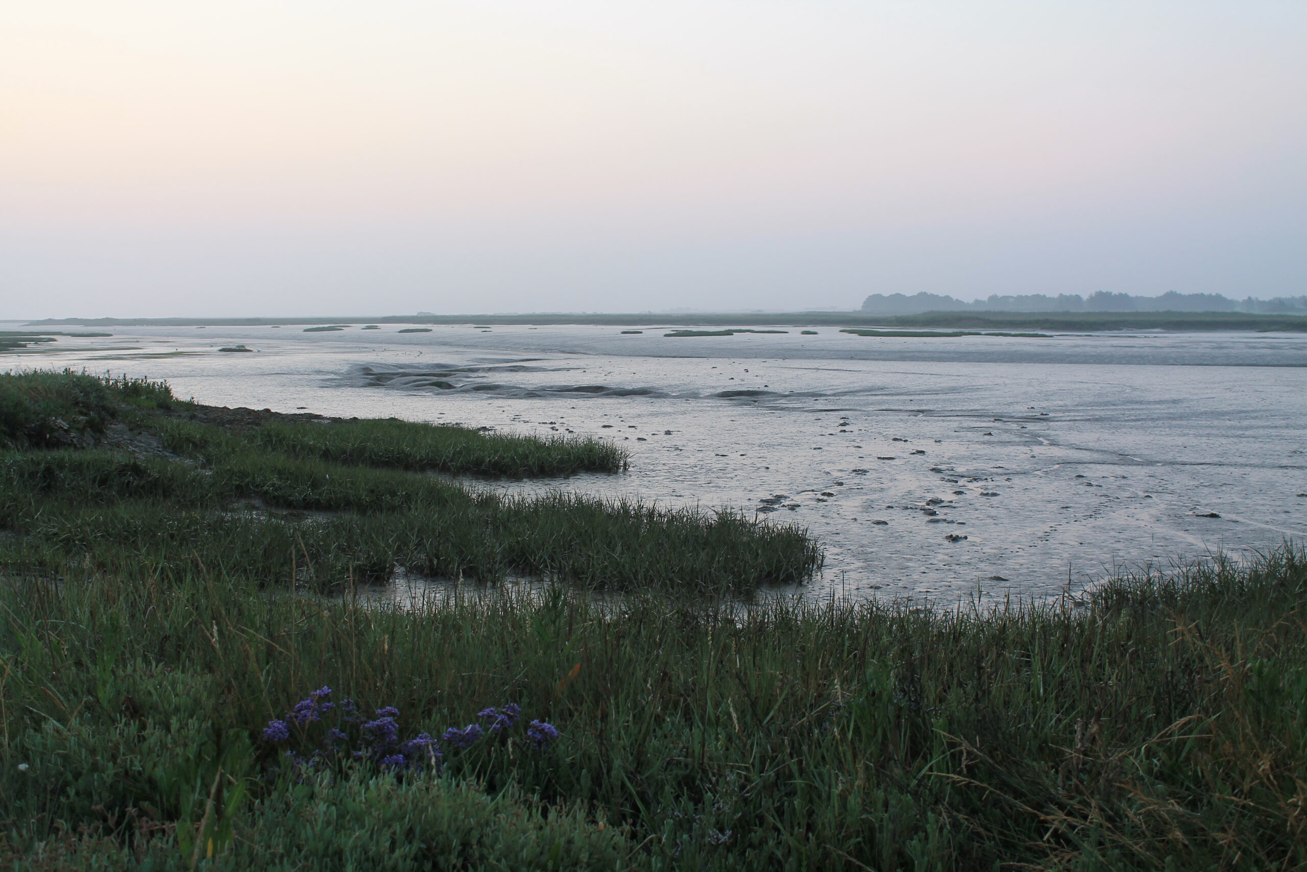
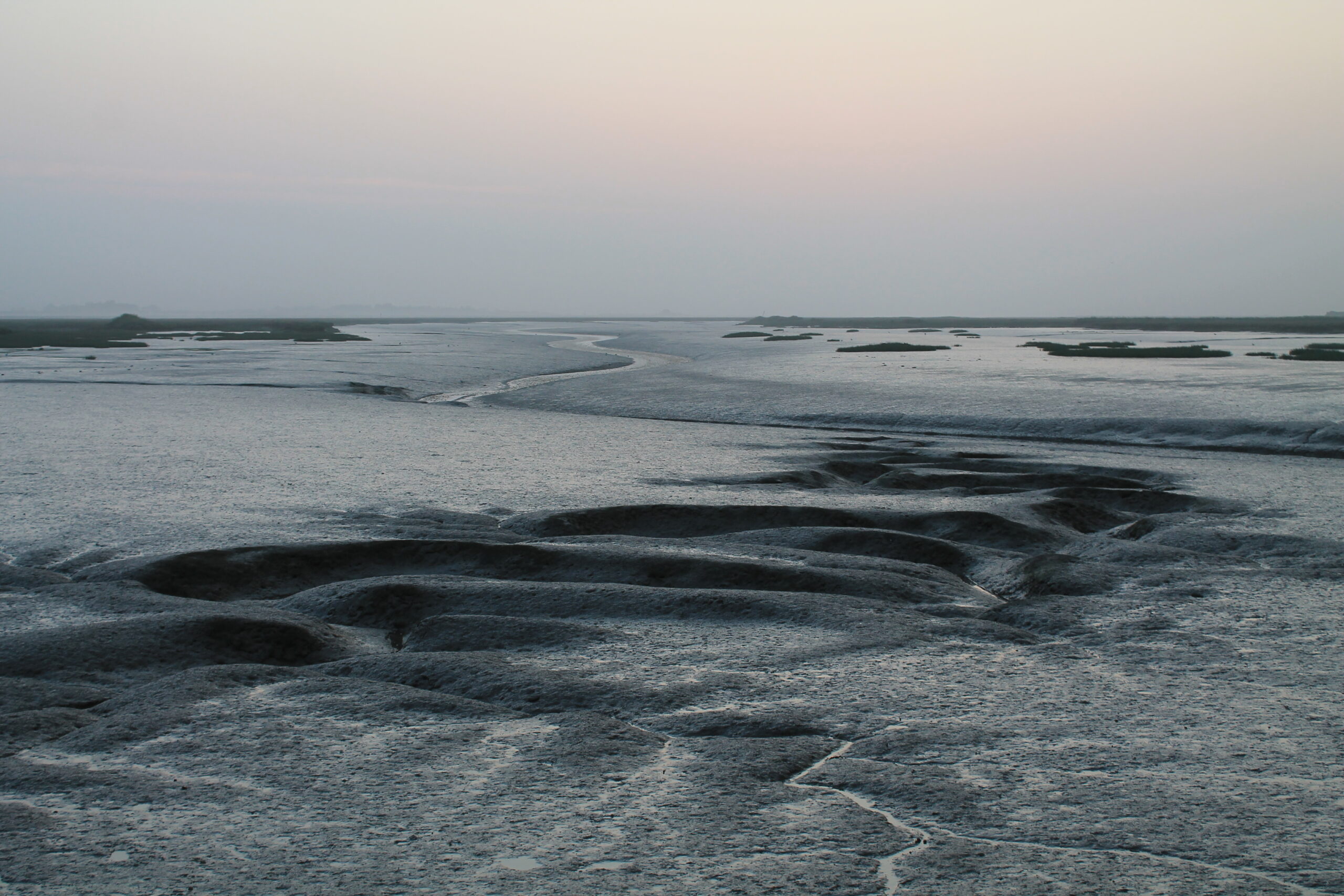
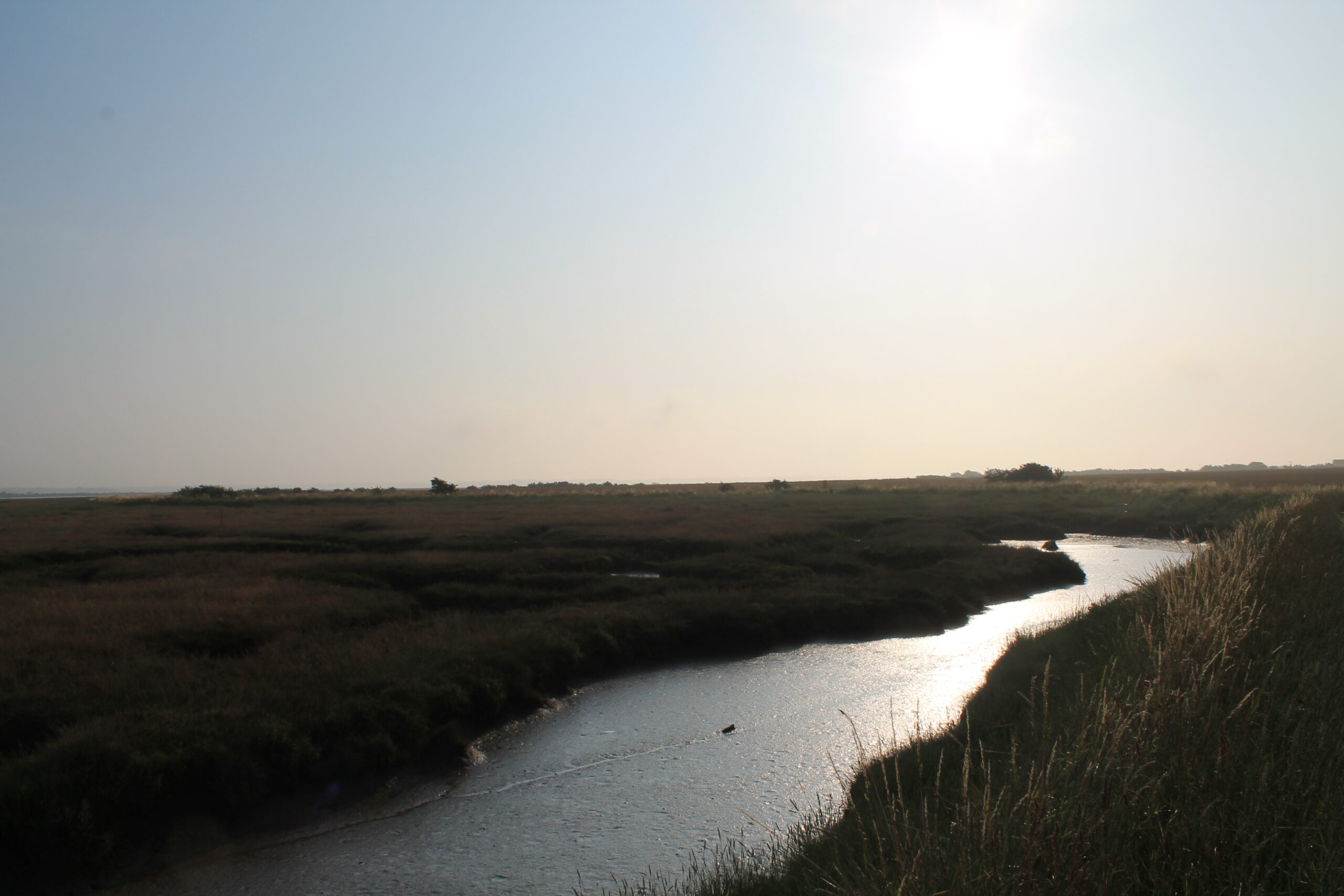
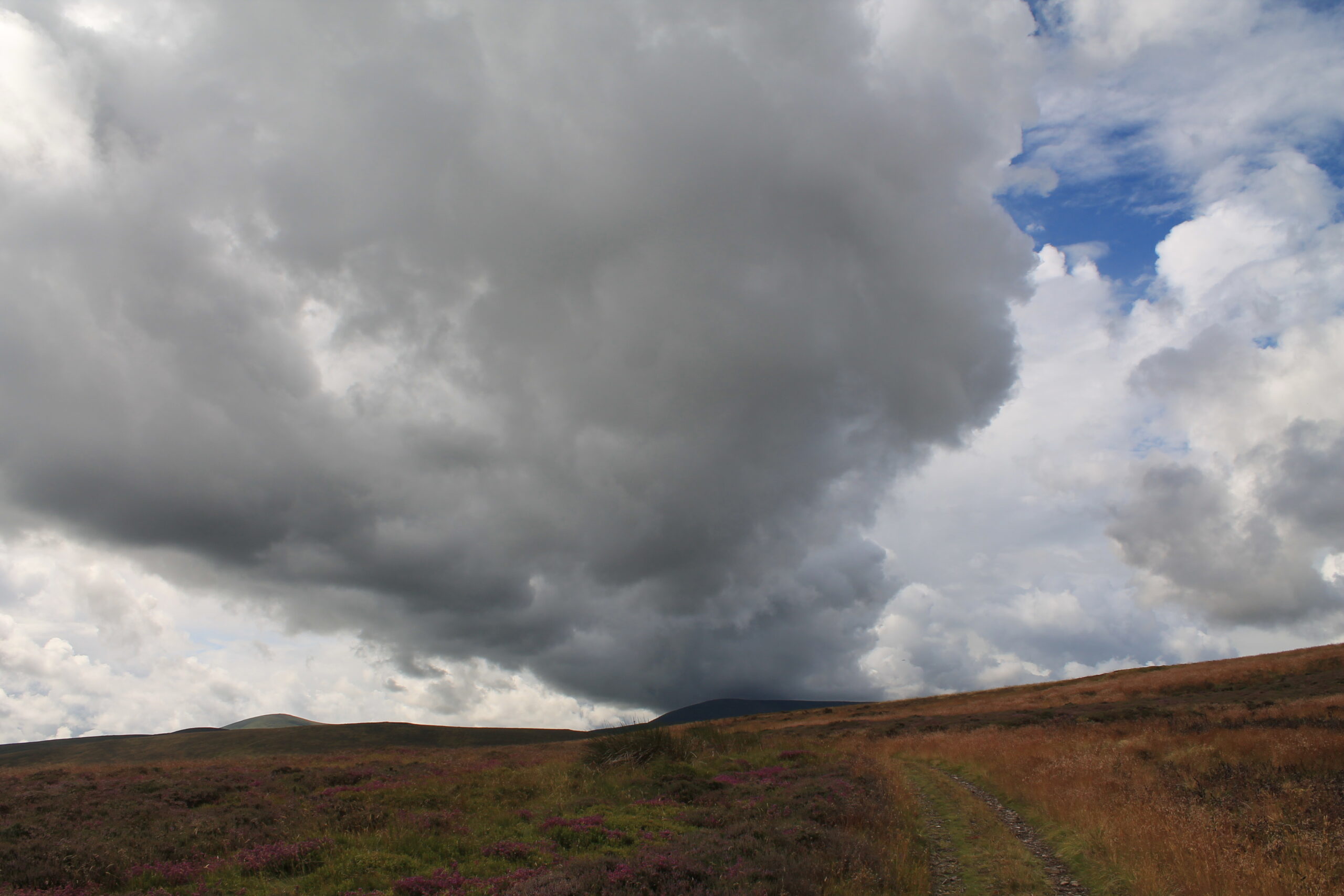
The rising sun drew a morning mist from the ground and sea. The tide was coming in, and in the dawn silence I heard it slow swirl through the channels of the mud flats. Continuing across the island to West Mersea, I set off clockwise around the island. Walking away from the harbour, seaweed shaggy pilings rulered out into the slowly filling channel. When, many hours later, I reached the causeway again the lunarscape of mud flats had been replaced by flat sheets of grey water.
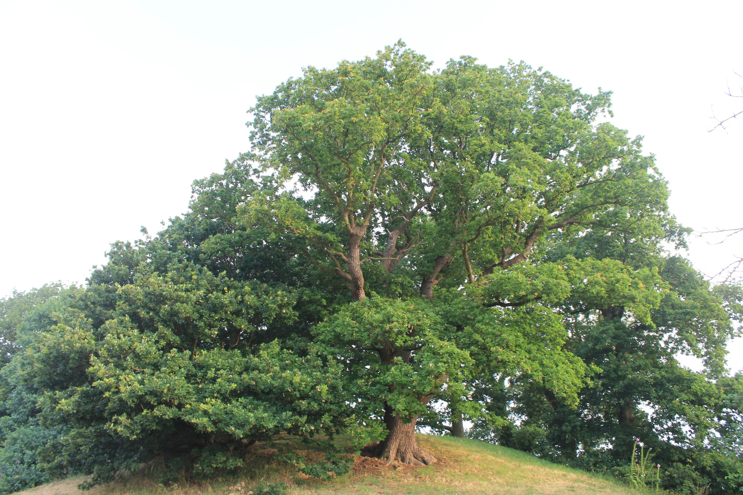
From here, a short detour inland made for a long walk into the past. At the top of the rise overlooking the causeway is a barrow dating to the start of the second century AD. Now topped with an oak tree, it would once have been the most visible feature of the landscape for people crossing the causeway. When the mound was excavated early in the twentieth century, archaeologists found, at the heart of the barrow, a lead box containing cremated bones, creating a conundrum under the hill. For the Romans did not raise barrows, and the Britons did not cremate the dead. But here were both.
Returning to island circumnavigation, I followed the Pyefleet Channel that runs between the island and the mainland. The sun had burned off the morning mist and the water sparkled in the early light. Saxon invaders, in their shallow-drafted boats, used these channels as highways into the country’s heart. Not far up the coast, at Sutton Hoo, an Anglo-Saxon king was buried in one of these boats, accompanied into the next life by some of the most magnificent jewellery and armour ever made. It was not hard to imagine the creak of oarlocks and the hiss of oars as the dragon-prowed boats moved stealthily upstream. Indeed, the settlers and invaders of 1,500 years ago were accompanied by much the same soundtrack as I was: the harsh croak of seagulls, the piping whistles of curlews, and the hiss of water and wind. For a few miles I walked in a soundscape unaltered for a thousand years.
The north shore of Mersea Island is quiet. I saw a handful of people, mostly on boats, but many swifts, the birds of eternal summer, jinking over the salt marshes, and, along a thistle-lined stretch of path, a cortege of butterflies accompanied me on my way.
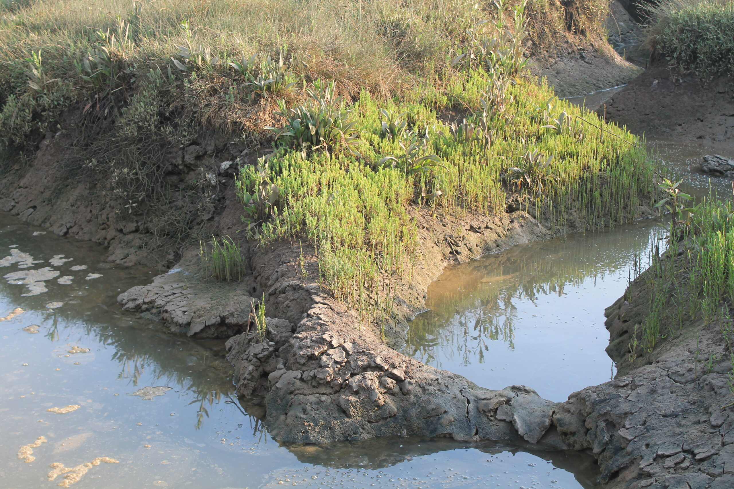
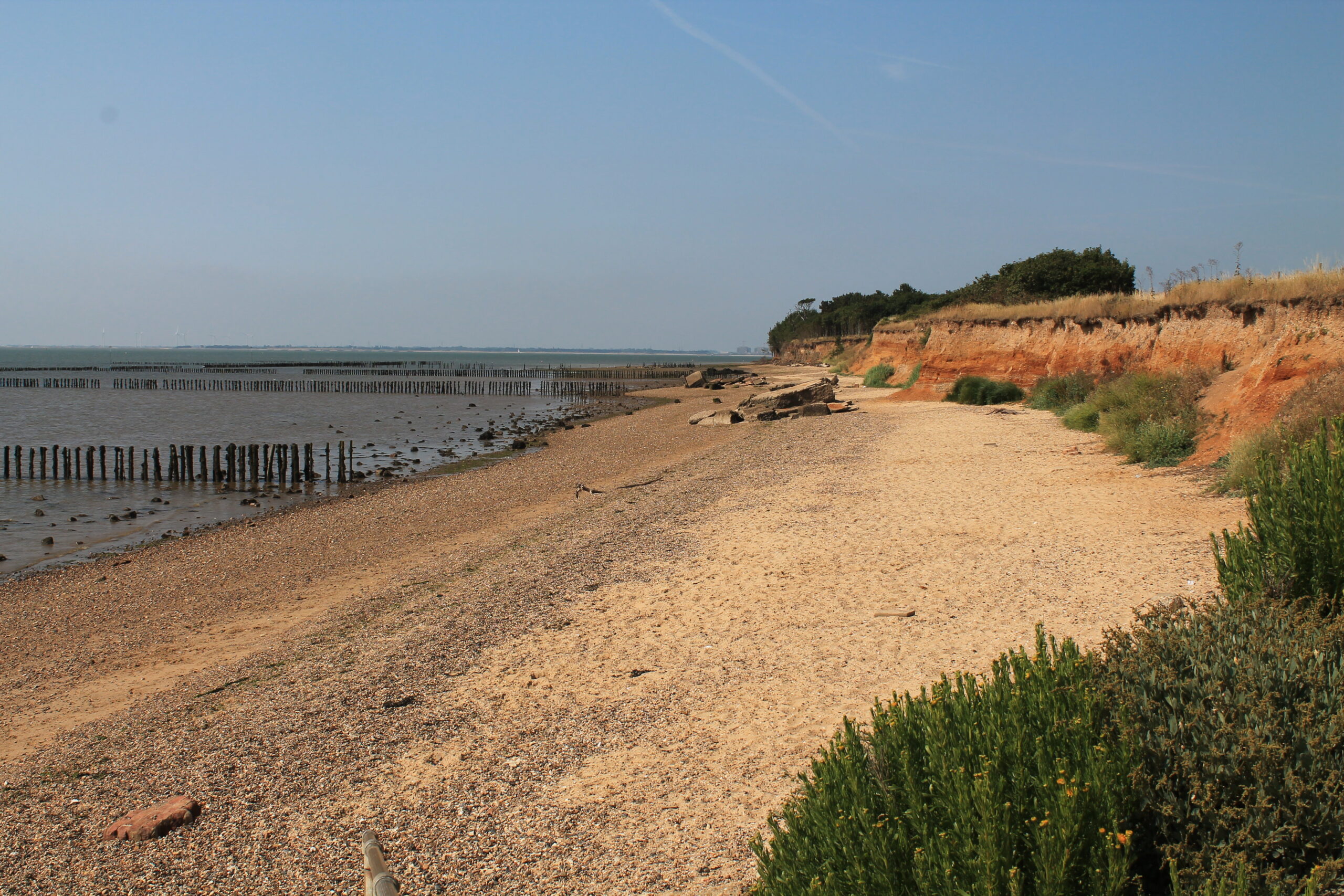
Reaching the tip of the island, the North Sea opened out, unusually blue and tranquil. To the south, the edge of the island was marked by shallow orange cliffs. The sea is hard gnawing the land here. Tree roots jut out into empty space, clawing against the inevitable, before they finally tumble down upon the beach. The cliffs were laid down 300,000 years ago, when elephants, rhinos and bear roamed the area, and fossil hunters still turn up remains.
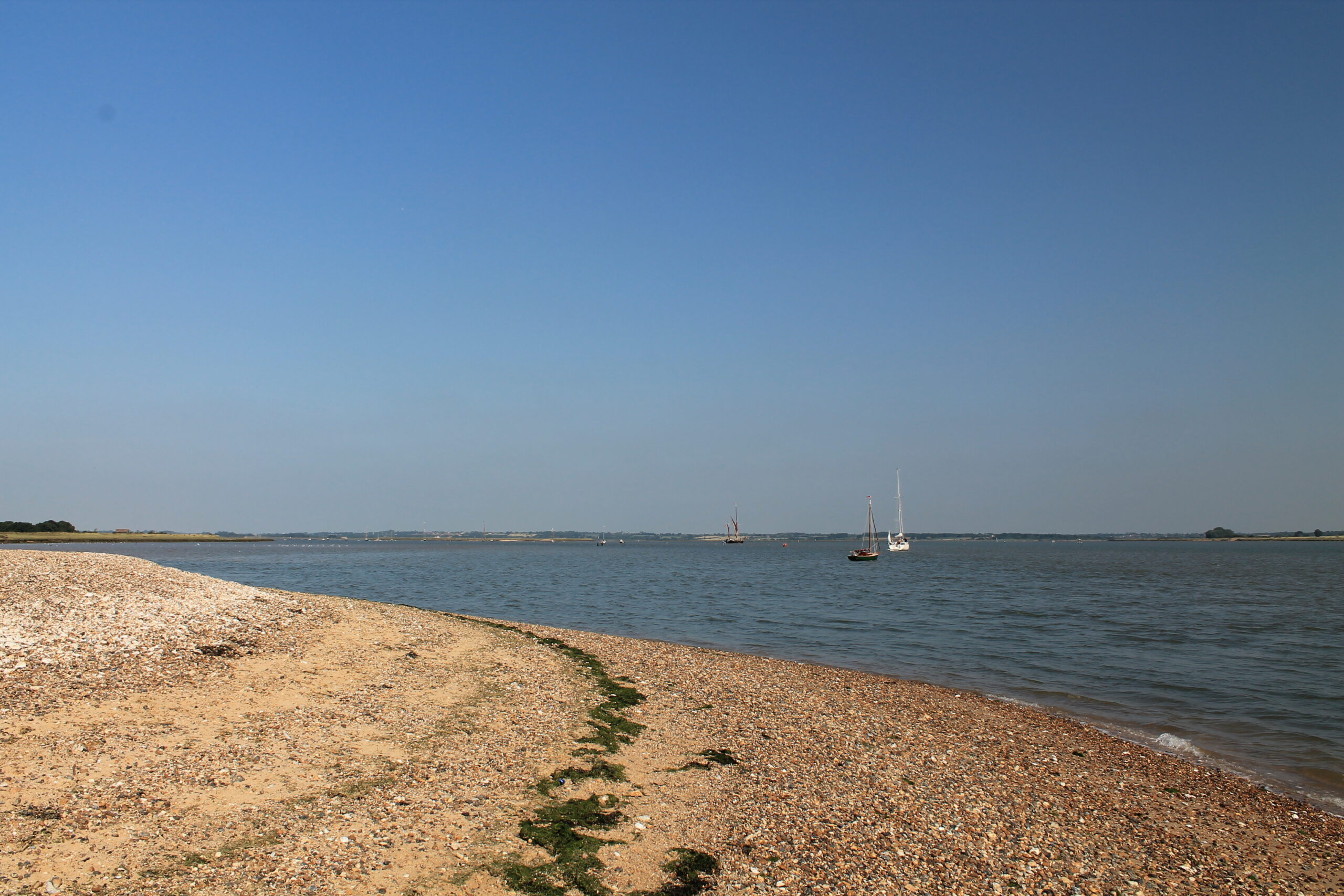
The sun was up and I was thirsty and hungry. An advantage of this walk was ending it at one of the excellent seafood shacks in West Mersea, eating the wildlife – oysters, cockles, shellfish – that had, unseen, underwater, accompanied me around the island. As walks go, making my way around Mersea had proved somewhat less difficult than Bilbo had warned but it had revealed unsuspected depths of time as well as providing views over great expanses of sea space.
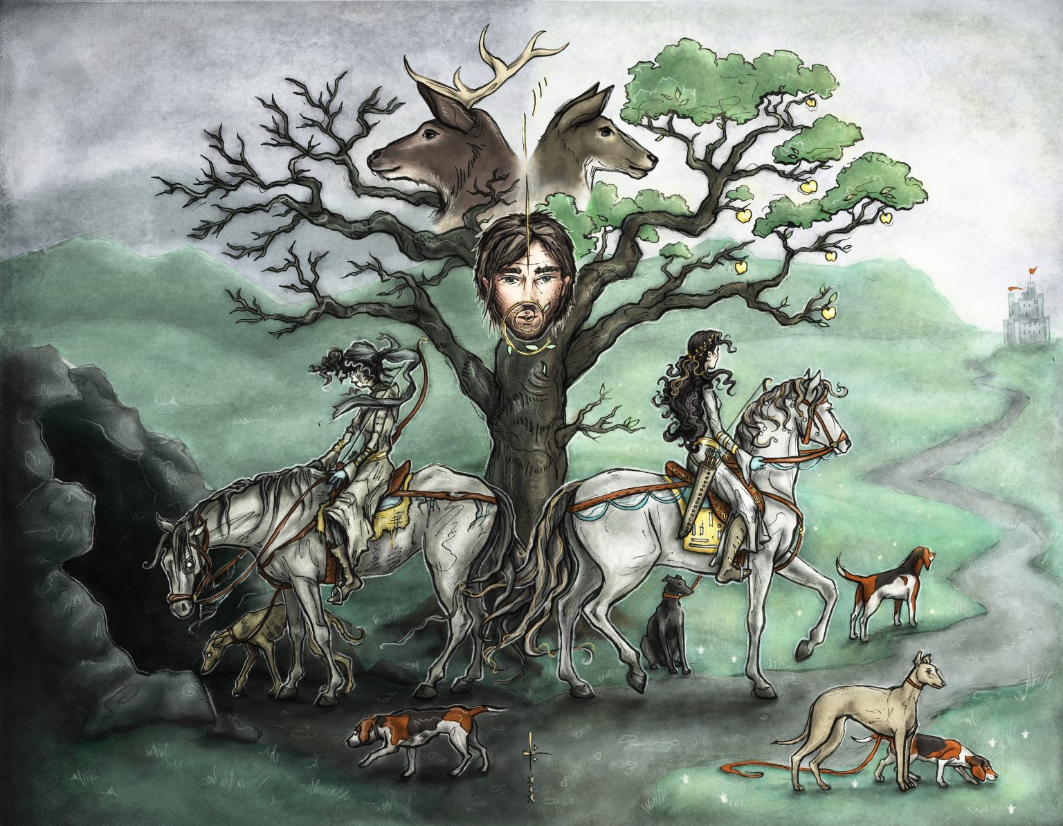
England is tame. It’s been shorn of mystery, its wildness cut away as mercilessly as Aslan’s mane. But there are places where something wild and mysterious lingers on, and some of these places lie hidden in plain sight, side by side with all the excesses of modern-day England. Of these, none is stranger, nor juxtaposed more jarringly with its surroundings, than Alderley Edge in Cheshire.
What is Alderley Edge? In the blunt fashion of so many English place names, the answer is given in the asking. It’s a sandstone ridge, an edge that, depending on how you look at it, is the last ripple of the Pennines before it sinks into the Cheshire Plain or the first step upward from the flat lands. As such, it is border country, and this quality of strangeness is still palpable today. It was this strangeness that made the Edge the ideal setting for Alan Garner’s classic children’s books, ‘The Weirdstone of Brisingamen’ and ‘The Moon of Gomrath’.
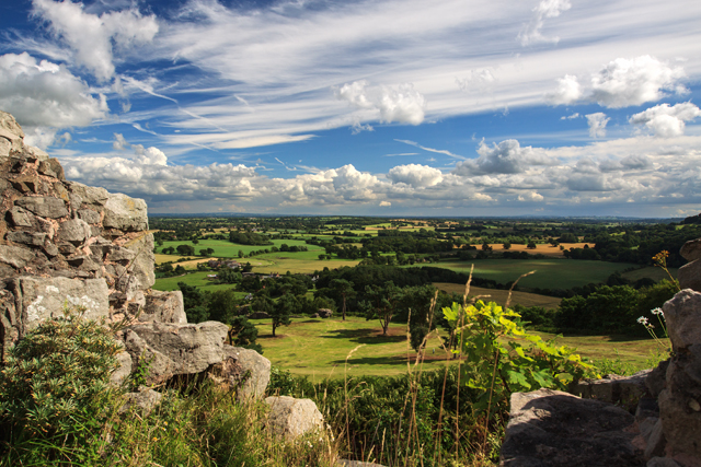
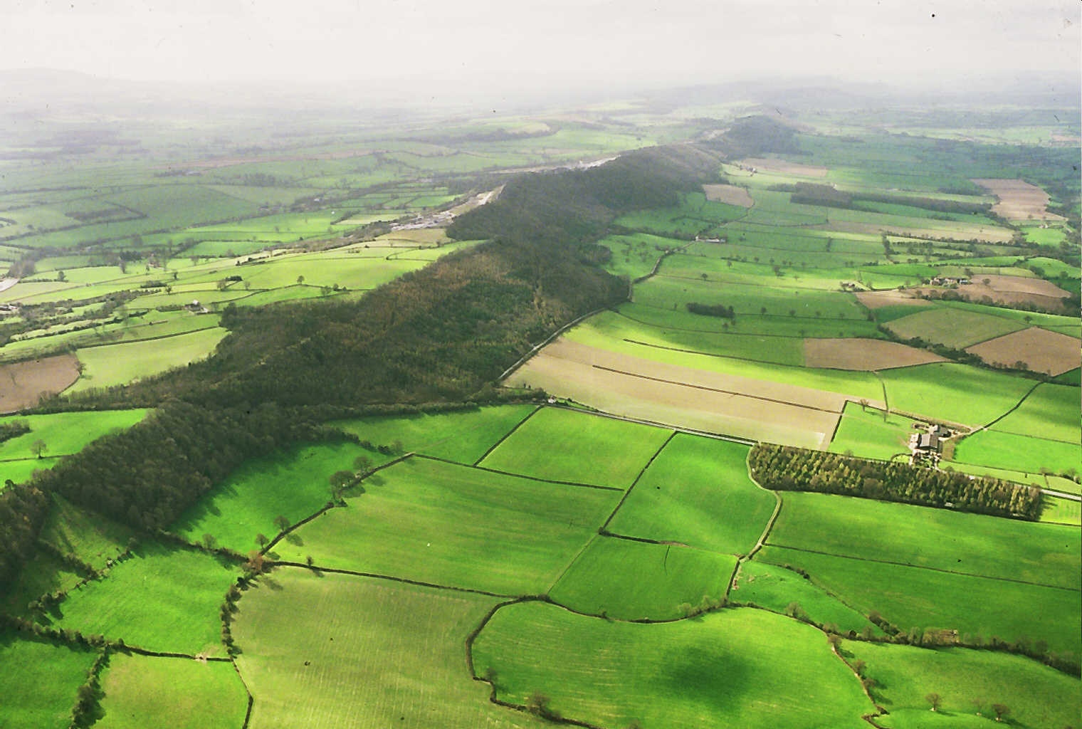
The view from Beeston Castle
To get an idea of the geography of the area there is no better vantage point than Beeston Castle, which is about 25 miles south west of Alderley Edge. The ruins of the medieval castle stand atop and around a great rock crag jutting some 500 feet out of the plain – it may be the best view for the shortest climb in the country!
To the west are the Welsh hills, south lies The Wrekin and east is Alderley Edge, marked out by the unmistakeable circle of Jodrell Bank just in the foreground, with the Pennines lying beyond (the visibility of the dish does rather depend on where it is pointing though). But what the view also shows is that this is a settled land, one deeply embedded in history and legend. And it is this that makes the British Isles so much more evocative than their size or comparatively gentle landscape would suggest.
However, you might be forgiven for wondering what on earth I’m on about should you arrive by train at Alderley Edge and walk down the main, appropriately named and directed, London Road. For a small town, the high street is densely packed with wine bars, boutiques and slightly predatory looking, if immaculately turned out, women. If the weather was 10 degrees warmer you could be in Marbella.
This is where Alderley Edge, a place of legend, runs full tilt into our modern myth of fame. The town is just a few miles south of Manchester, convenient for the airport and Manchester United Football Club. The Beckhams lived here, as did Cristiano Ronaldo. Property prices are even higher than you’d think, the new-build mansions more ghastly than you could imagine.
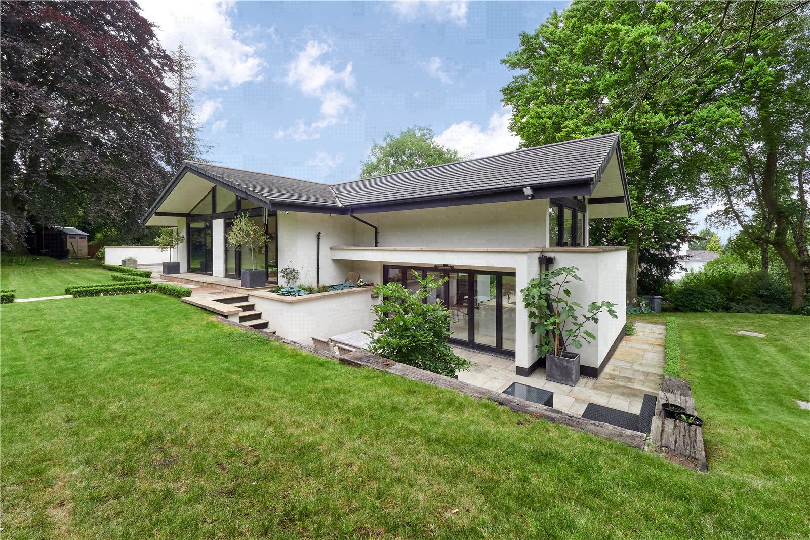
A typically understated house in Alderley Edge
The town is small, and taking the B5087 Macclesfield Road, you’ll soon start winding upwards, past some eye-wateringly large and imposing houses. Continue on, and after a while the houses are left behind, and woods and fields appear. You’re now up on the Edge. But it would be perfectly possible to continue on to Macclesfield without ever knowing it. (In fact, a friend of mine did once come in search of the Edge and failed to find it, despite asking the way in the town. It’s likely that the WAGs of whom he inquired the Edge’s whereabouts – he was young and testosterone fuelled at the time – did not count hill walking among their main pursuits.)
Looking down from Alderley Edge to the village
Instead, stop at the first lay by and take the sign-posted path heading north east, with an open field to your right. At the end of the field, head straight on, go down some steps and then turn left, following the path past some rock outcrops until you come to the Wizard’s Well. At this point, readers of ‘The Weirdstone of Brisingamen’ will be entitled to laugh out loud in delighted recognition. For there it is, exactly as described in the book:
The carved face of the Wizard above the well
a stone trough into which water was dripping from an overhanging cliff, and high in the rock was carved the face of a bearded man, and underneath was engraved:
Drink of this/And take thy fill/For the water falls/By the wizards will
The legend of Alderley Edge, which was first documented in 1753 although it’s likely much older, tells of a farmer from Mobberley making his way over the Edge to sell his milk-white mare at Macclesfield market. An old man asks to buy the horse, but the farmer refuses, thinking to get a better price at the market. But the old man tells him no one will buy the horse, although all will admire it, and he will be waiting for the farmer when he returns that evening.
And so he is, and he leads the farmer along the Edge until he comes to a large rock, which he touches with his staff. At his touch, the rock parts, revealing Iron Gates, and a by now thoroughly frightened farmer and steed are taken deep into the earth and brought to a chamber where lie many knights, sleeping. And beside all save one is a milk-white mare. The wizard takes the farmer into a cave filled with treasure and tells him to take what he will as payment for his horse, for these knights lie sleeping until the wizard wakes them to do battle for England’s deliverance. The farmer leaves, a chastened but richer man, and the Iron Gates clang shut behind him.
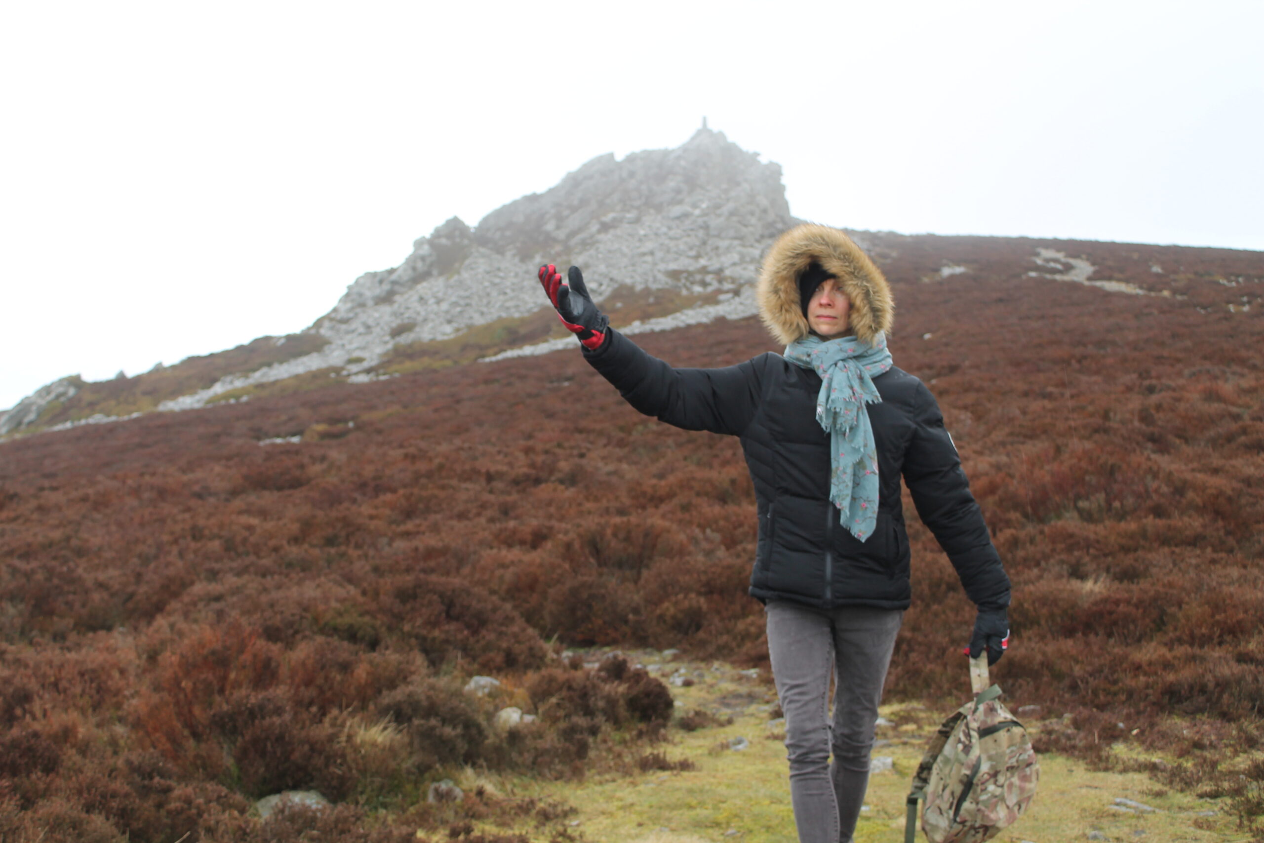
The Edge in winter (I dropped my camera in the snow after taking this one photo).
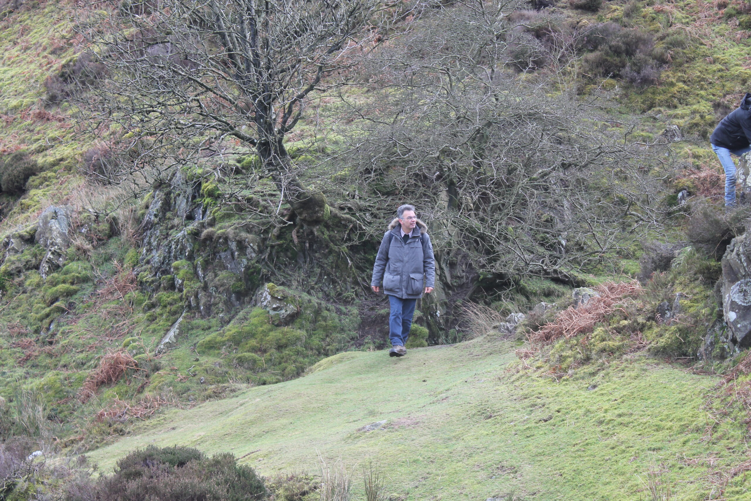
Being near urban centres, timing is important when visiting Alderley Edge. Arrive on a bank holiday Monday and it can seem about as mysterious as Blackpool beach. But come in autumn twilight, when the wind is blowing the trees ragged or, as I did on my last visit, with snow beginning to fall and the world looking as unfamiliar as only the first winter snow can make it, you too will wonder what is real and what is imaginary. Holes, deep and unexpected, open in the rock, and hollows, man made but tree grown, lie in wait.
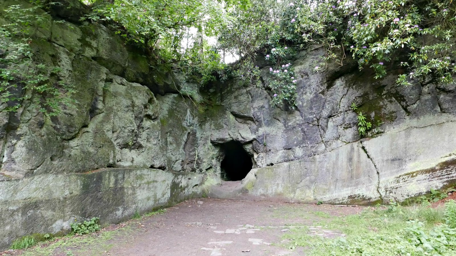
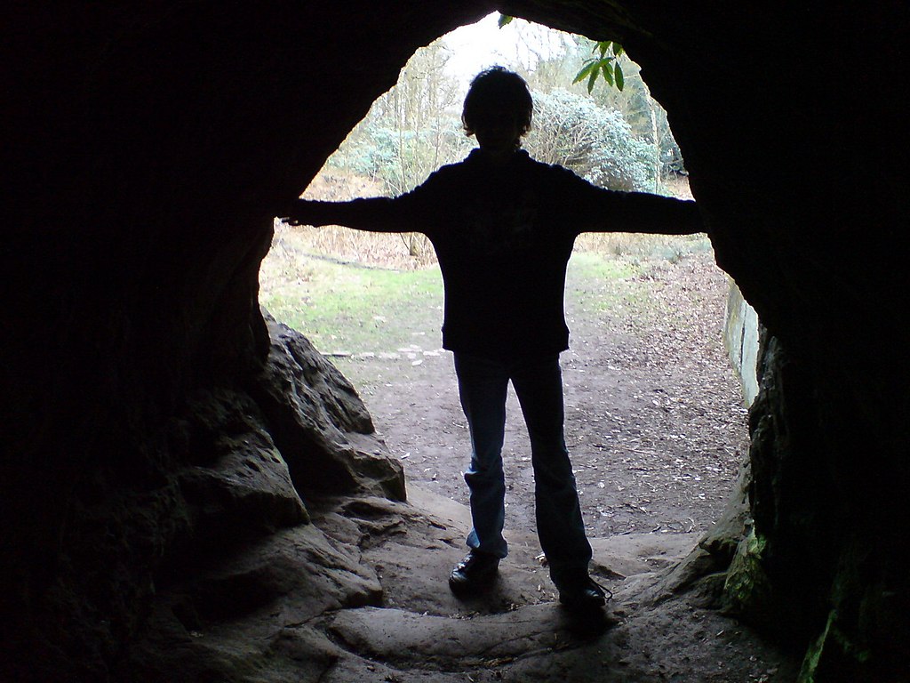
For the Edge is worked rock, made of sandstone that was laid down some 240 million years ago when even dinosaurs were still young, and it’s been mined since the Bronze Age. Those strange hollows are quarries and they pockmark the Edge, their number a testament to the intensity with which it was worked. Tunnels, some leading down deep into the ground, others simply test mines that failed to find what they sought, make silent ‘o’s in the rock. And though you know you shouldn’t go in, each and every one exhales temptation.
‘Enter. Explore. Delve deep and you will find the secret roots of hill and tree and rock,’ they seem to say. But the temptation must be resisted. It can be hard, though, for everything about the place suggests a secret land. Tree roots reach like fingers over the exposed rocks, their nails digging deep into the cracks. Unexpected vistas to the Pennines open suddenly and then, just as suddenly, close. This is a strange country, where it is easy to feel that the veils between this world and another are thin.
But what is this other world? In ‘The Weirdstone’ and ‘The Moon of Gomrath’ it is a place of high magic and old magic, of dwarves and elves, the wild hunt and the sudden, shocking onrush of fimbulwinter. But Garner is tapping into much older traditions here, for the idea of the gate which opens into an Otherworld that is both coterminous and distant from our own is an old one, with deep roots in the cultures and imaginings of the inhabitants of these islands, be they Celt, Scot, Saxon or Norman.
Beowulf dived into the lake to confront and kill Grendel’s mother; Arthur – the once and future king – sleeps in Avalon; Bran sails over a sea that is a flower-speckled plain; True Thomas lives for seven years beneath the three peaks of the Eildon Hills when he goes with the fairy queen upon ‘that bonny road,/Which winds about the fernie brae,/ That is the road to fair Elfland,/ Whe[re] you and I this night maun gae.’
Here there is wildness, lurking barely beneath the skin of modern life, but it is a wilderness of a different order. It’s the inchoate stuff of legend and myth, where spirit and matter, history and death meet and plunge strange roots into land and heart. It’s the wild heart of these islands, transmitted and transfixed in particular areas and as such illustrates how our wilderness is different from that of a country like America, where the dominant experience of wilderness is of a place apart from humanity and into which we venture as visitors. Here, wildness lies at the intersection of land, culture, myth and memory, in the place where worlds meet.
The Edge is a perfect example of such a liminal place. It’s not particularly large, and you could explore most of it in a day, and yet I suspect that even a lifetime of daily walks would not reveal all its secrets nor uncover all its moods. The Edge was a bare, windswept ridge until the mid-18th century, when local landowners planted it with Scotch pine. Since then, oak and beech have colonised the Ridge, their roots often making use of the cracks in the rock strata exposed by quarries to anchor the trees against winter storms.
The quarries and mines are perhaps the most striking feature of the Edge. Although they are obviously the work of men, they add considerably to the otherworldly atmosphere of the place. Bronze Age man first mined here, digging for copper and lead, and the Romans followed. However, there’s little evidence for any further activity between the Romans and 1690. For the next two hundred years, the Edge was extensively mined and quarried, and though there was little real activity after World War I, the mines became something of a tourist attraction. However, several unwary visitors were hurt or killed, and the mines became notorious. Some were sealed, and tourists warned not to venture under ground. The sandstone has also been eroded in many places by visitors, so it is best to keep to the paths.
Much of our knowledge of the tunnels comes from a man called John Evans, who lived a hermit life out of a log cabin in Church Quarry, which lies not far behind The Wizard pub on Macclesfield Road. Evans lived there for many years after he suffered a breakdown in 1915, reputedly brought on by the loss of the woman he loved on the Titanic. Knowledgeable about geology and a good climber, he began exploring the caves. Despite his hermit reputation, Evans enjoyed socialising and this led to his strange death. After an evening drinking in a local pub, Evans returned to his hut with two friends to continue the merrymaking. But one of the men, Walter Whitelegg, fell ill and died later that night – from cyanide poisoning it turned out. The inquest called to discover the cause of death summoned Evans as a witness, but when he failed to turn up the police went to Church Quarry only to find Evans dead – of cyanide poisoning too.
Strangely, but rather appropriately, six bars of gold have also been found around the Edge, with most of the finds made in the 1990s. See, I said there’s something truly odd about the place. Maybe, behind the tame façade, the old gods of England are laughing.
I like rocks. Big rocks, little rocks, smooth rocks, rough rocks, I like ’em all. But, as you might have guessed from my sophisticated method of classification, I don’t know much about them. Living in London there isn’t much chance of getting a great deal of hands on knowledge of them, since the city sits atop deep layers of clay laid down some 50 million years when the land was sea (if the Pennines are the country’s spine, that would make Scotland the head and London the arse!). So when I learned that palaeobiologists at Oxford University’s Earth sciences department had discovered some of the earliest life yet found in rocks on the Long Mynd, my decision was made. We headed to Shropshire.
AE Housman called them ‘those blue remembered hills’.
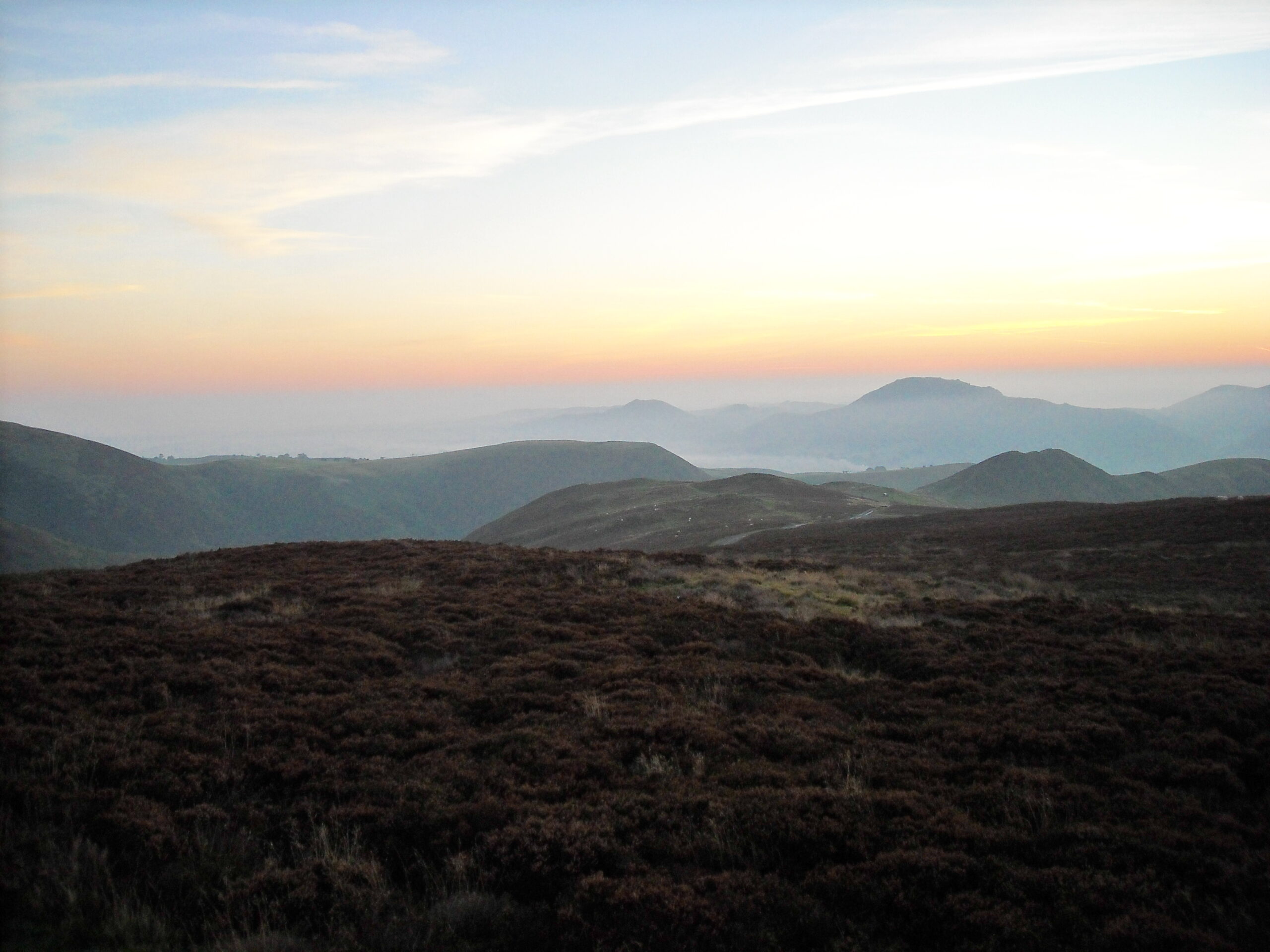
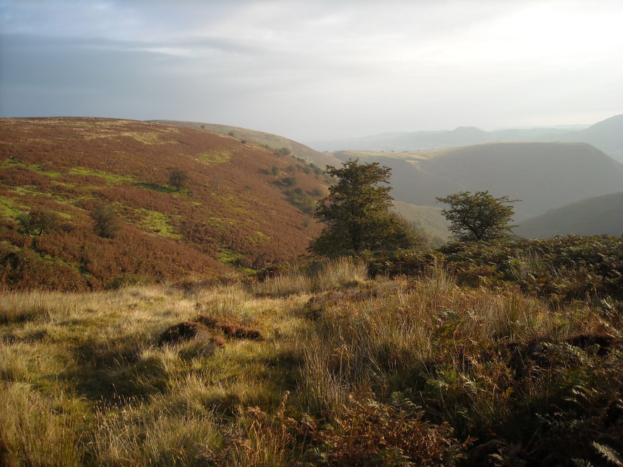
If you read guide books or tourist brochures about the Shropshire Hills, you’ll soon find out about the importance of the area for geologists. It was one of the areas where geology, a largely Victorian and British invention, made its first discoveries. No comparable area in England provides so many different rock formations. If you look at a map of Shropshire you’ll see that the hills form long, parallel ridges, rolling like breakers towards the plains eastwards: the Stiperstones, the Long Mynd, Wenlock Edge. It could almost be a green sea, with the bare backs of the Stiperstones and the Long Mynd still far out from shore, and Wenlock Edge, its tree-covered flank the foam, breaking on the beach. These long hills were formed at different times, with the Long Mynd the oldest, at 560 million years, the Stiperstones a sprightly 480 millions years old and Wenlock Edge a positively youthful 430 million.
Wenlock Edge, a wood crowned wave breaking upon the eastern plains.The Stiperstones.
The Long Mynd, although a favourite with walkers, has received little attention from palaeobiologists since its age seemed to preclude fossils. But we’ll return to it later as, it turns out, that ain’t necessarily so. Wenlock Edge, on the other hand, was laid down by uncounted corals in a warm tropical sea after the great Cambrian explosion of life, and fossils are supposedly numerous, though I’ve never been that good at finding them. On the other hand, Charles Darwin, a native of Shrewsbury up the road, didn’t find any either, so I’m in good company. Like a receding ripple, Wenlock Edge has its own land shadow in View Edge, a parallel bed of hard limestone tilted upwards by geological forces.
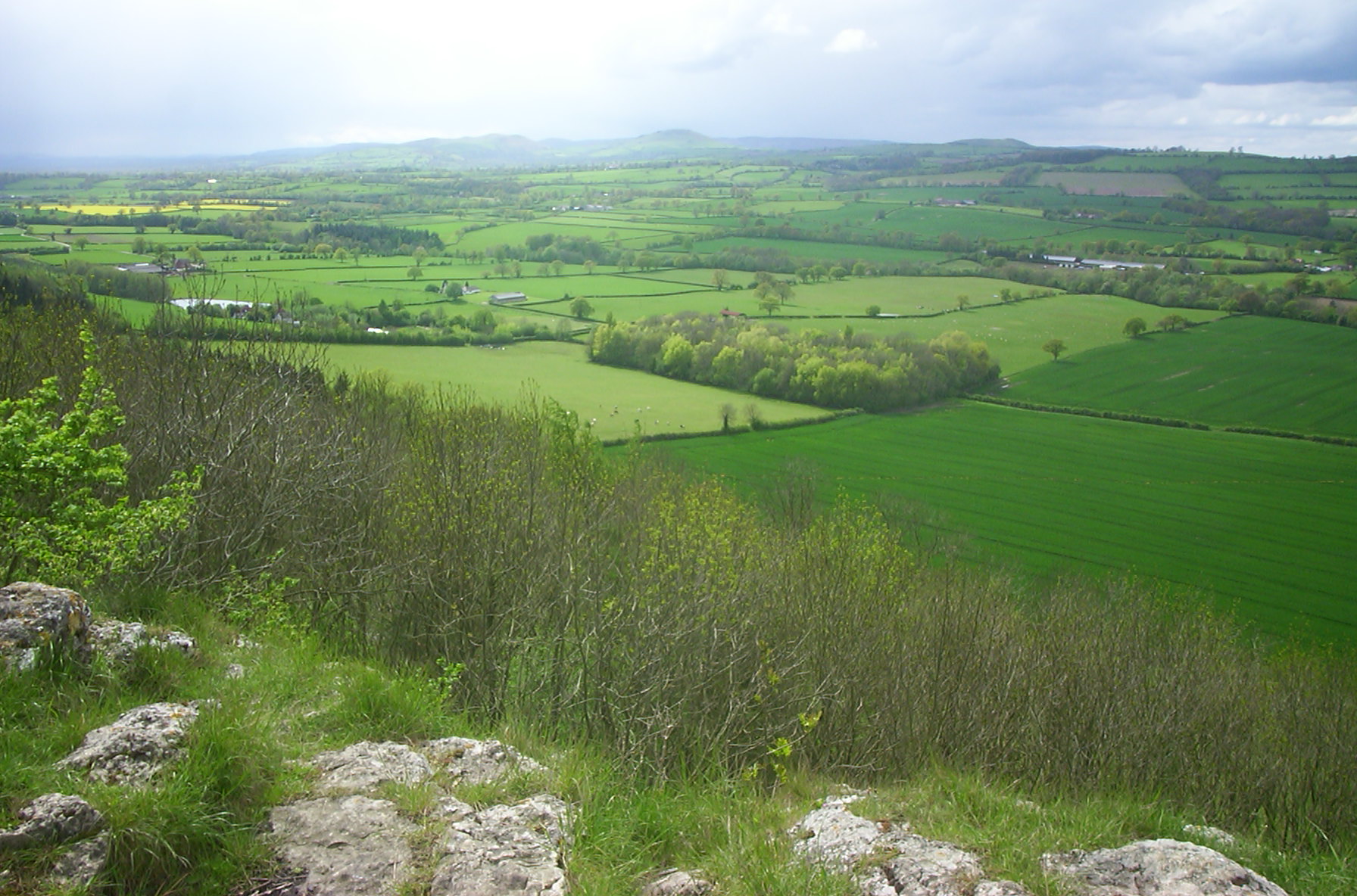
The view from Wenlock Edge
Limestone was a vital fertilizer in the days before oil-fired agriculture, and Wenlock Edge was quarried big time. Most of the quarries are closed now and the National Trust is negotiating with the operator of the last big quarry on Wenlock Edge to take over its workings as a museum and visitor centre of the area’s past. But the quarrymen did great service to geologists and palaeontologists, slicing deep into the rock and cutting back through the accumulated layers of the Edge’s earth clock. On any given day you’re still likely to find a fossil hunter bent over a shard of rock, hammer at the ready, hoping to find wonder in his hand. Fossil corals are common, as are the plant-like crinoids, brachiopods (which look similar to mussels but aren’t related) and trilobites. Not that I could make them out, even when a friendly fossil hunter attempted to show us what he was doing.
The steep western flank of the Edge is thickly wooded; a summer walk is shaded but enclosed. Maybe the best time to walk it is in winter or early spring, when you can see Ape Dale spreading out towards Caer Caradoc, Ragleth Hill and the long mountain beyond (in case you’re wondering, the dale was named for its apiaries rather than its simians).
The Major’s Leap
Not far from the final working quarry is the Major’s Leap, a rare clear outlook through the trees. It’s named for Major Smallman, a Royalist who lived in nearby Wilderhope Manor. Pursued by soldiers fighting for the Parliamentary cause, he forced his horse up along Wenlock Edge until, cut off, man and horse leapt into thin air. The beast did not survive, but Major Smallman did, limping off to escape his pursuers.
Yes, we did stay at Wilderhop Manor, but rather a long time ago now.
Wilderhope Manor, his old home, is now a National Trust owned youth hostel and an evocative and reasonably priced place to stay. It fell into dereliction in the 19th and early 20th centuries so was spared the improvements so often foisted on Elizabethan manor houses in that time. There’s a rack above the fireplace in the main hall that was once, in more troubled times, a place to store longbows. This was border country, after all, and ‘it was customary for the English to cut off the ears of every Welshman found east of the dyke, and for the Welsh to hang every Englishman whom they found to the west of it’.
Despite my failure with Wenlockian fossils, I was still excited by the news of the finds on the Long Mynd. For a long time, the mountain was thought to be bare of fossil remains. The only structures to be found were the sinuous ridges of water over sand, just like you see today on a beach as the tide withdraws, and even more evocatively, the marks of a passing rain shower on lost beaches. That’s what it says in guide books and it’s what I’d written in previous features about Shropshire. But it turns out not to be true. Those aren’t rain drops at all, but the remains of tiny creatures, namely Intrites and Beltanelliformis, which were either colony-forming microbes or even very primitive animals.
Carding Mill valley
However, I must admit they still look like rain drops to me. The fossils are quite common on the Long Mynd; Alex Liu, one of the researchers working on them, found fossils of Intrites and Beltanelliformis up and down Carding Mill Valley and along Ashes Hollow, the second valley south of Carding Mill, often simply in bits of shale lying along the path. But he’s a palaeobiologist, and used to looking for dimpled bits of rock. To get a better idea of what to look for, head to the National Trust Visitor Centre in Carding Mill Valley, where an example of this sort of fossil is on display in the café – it’s been relabelled, ‘Meet the ancestors.’
I asked Alex how he knew these marks were really caused by living creatures, since the fossilised impressions appear to show a young earth suffering from a bad attack of chicken pox – exactly how you’d expect muddy ground to look after a heavy shower.
With considerable patience, Alex explained that these couldn’t be rain marks because we now know these rocks were deposited under water; many marks are too small to be rain prints; and they don’t cut or cross each other, but rather grow into and abut the surrounding structures in the way that living creatures like bacteria do today. And, what’s more, identical structures have been found in rocks of the same age in St John’s, Newfoundland, and similar structures are seen in Charnwood Forest, Leicestershire.
560 million years ago, when these rocks were formed, the Atlantic Ocean didn’t exist, and Newfoundland, Shropshire and Leicestershire were close, under-sea neighbours. Alex went on to say that Shropshire was then a long way from its present location, most likely lying just outside the Antarctic Circle at about 60 degrees south.
A young Matthew atop The Wrekin
Huge volcanoes erupted and their outpourings form the hills that lie to the east of the Long Mynd: Caer Caradoc, Ragleth Hill, The Lawley and, further to the north-east, The Wrekin, which is the first hill visitors usually see when driving into Shropshire on the M54 and the one shedding its leaves onto the Severn according to A. E. Housman (‘On Wenlock Edge the wood’s in trouble;/His forest fleece the Wrekin heaves;/The gale, it plies the saplings double,/And thick on Severn snow the leaves’). The ash and rock worn off these volcanic mountains was washed into seas and estuaries, forming the sediments that settled into the mudstone that today forms the Long Mynd.
Carding Mill valley
Still feeling a little light headed from the dizzying vistas of time laid out to me, I walked out into Carding Mill Valley and looked up at its steep, heather covered flanks. There was once a mill here that, as the name tells, carded sheep’s wool – the building was later converted rather unsympathetically into flats. But by the late 19th century nearby Church Stretton and its necklace of hills were being marketed to Victorian day trippers as ‘little Switzerland’, complete with requisite spa (although the requisite liquid for taking the waters had to be transported in from Wales). On arriving in Carding Mill Valley some of the visitors would pay the local urchins a penny to race up the valley sides. We set off at a more leisurely pace.
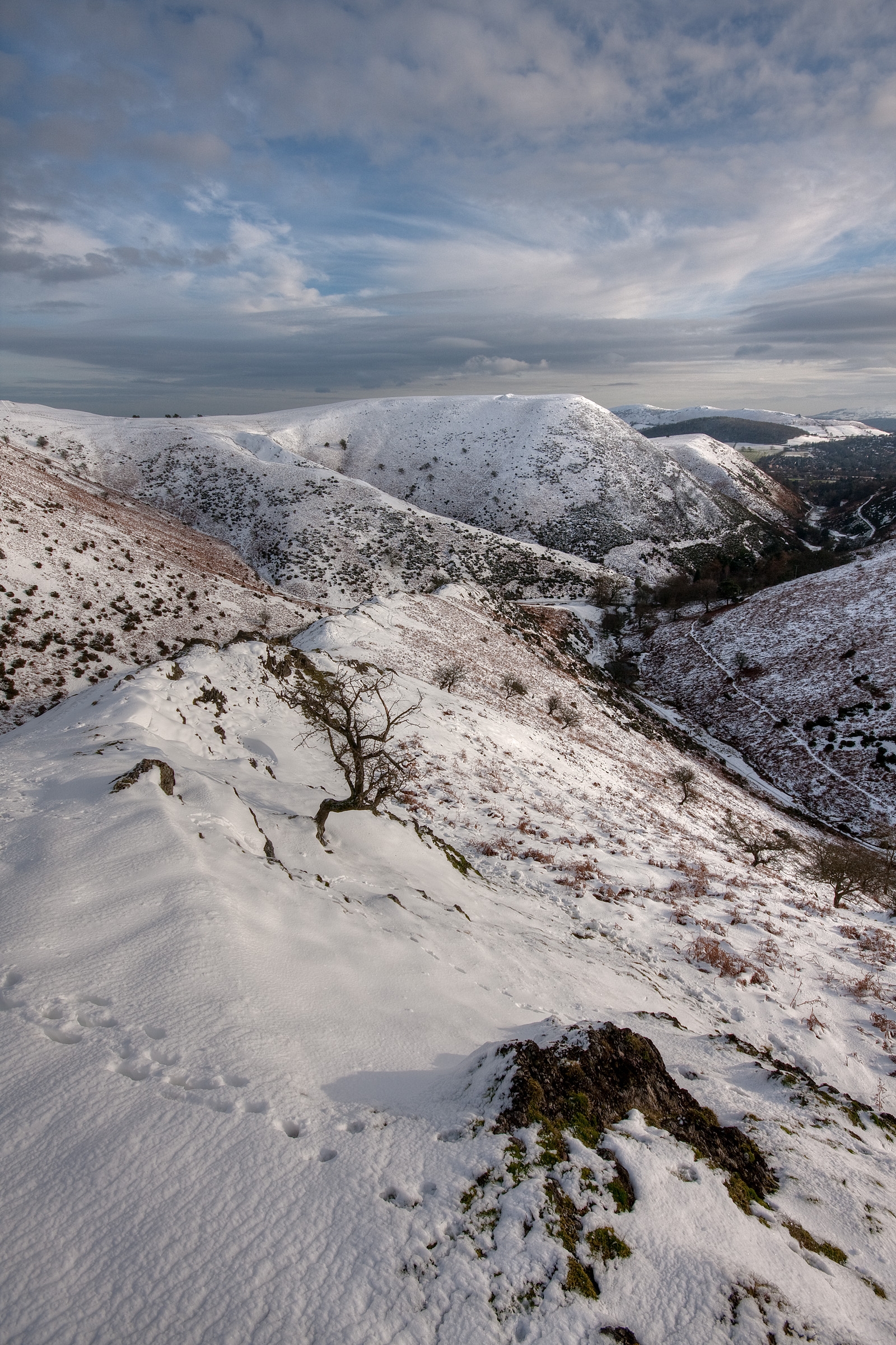
The Long Mynd
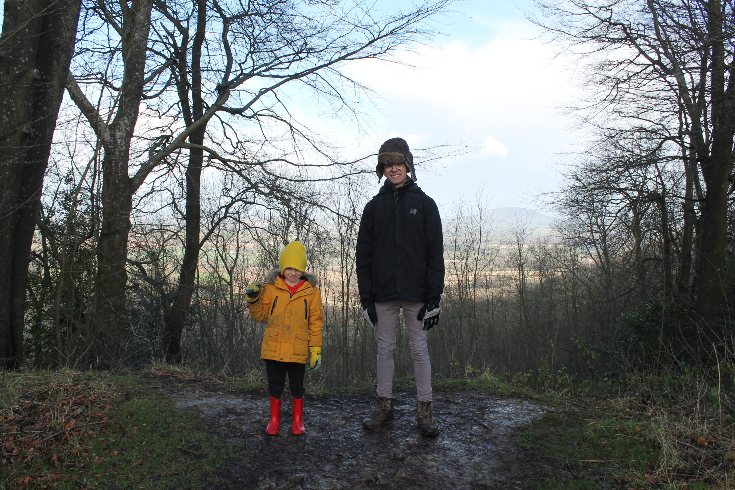
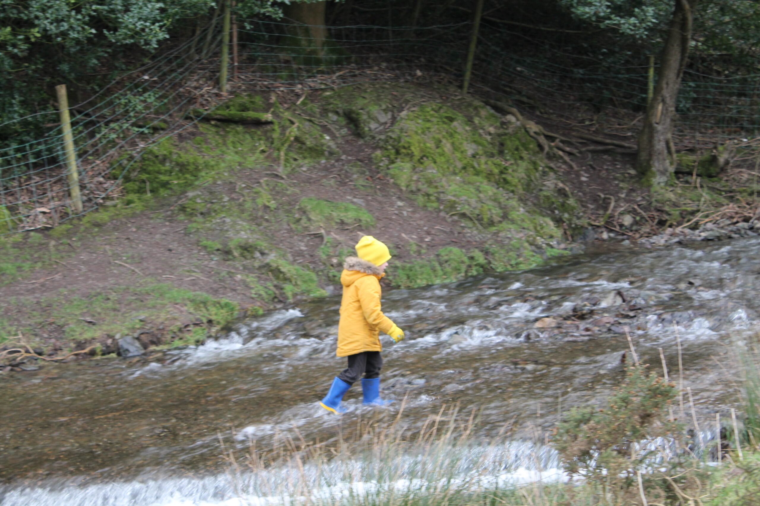
My son, Theo, wrapped up against the winter wind, accompanied me up the valley. The Long Mynd is deeply fissured on its eastern flank, the steep valleys (or batches as they’re known locally) draining the rain driven before the prevailing wind. In comparison, the mountain’s western slopes are relatively smooth and, since they are largely free from trees, they are perfect for gliding. Amy Johnson, the famous aviator of the early 20th Century who was the first woman to fly solo from Britain to Australia, practised above Wild Moor and Pole Bank.
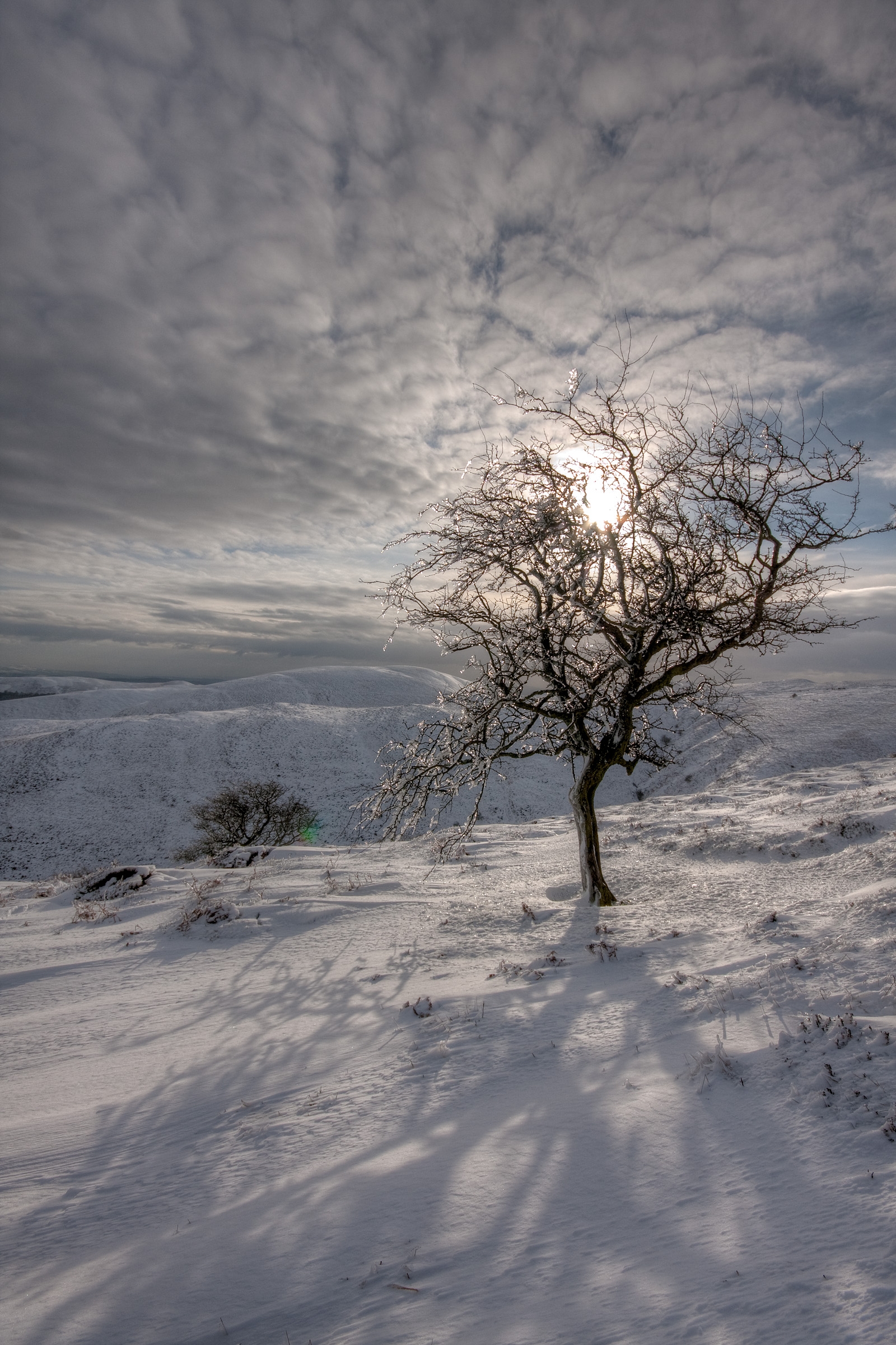
The snow, which had started in a desultory fashion as we began, grew thicker as we climbed up Light Spout Hollow. The world whitened as we went, until it opened out, and out, and out, into a formless, shifting, blowing greylight. We had reached the exposed and undulating whaleback of the long mountain and come into a world transformed. Living in a world of change, our entire perceptual and cognitive apparatus is geared towards providing us with some sort of constancy, but that apparatus fails utterly under the white. Heather becomes a strangely unliving lace, a bleached out coral in a cold and motile sea. Fence pillars are measured out on their verticals by the regular spacing of ice flakes, each one standing apart from its neighbours, each and every one a marvel of involuting intricacy. We walked in a middle space and centre time, abysses of time beneath our feet, worlds within worlds within worlds before our eyes; the snow blowing before the wind.
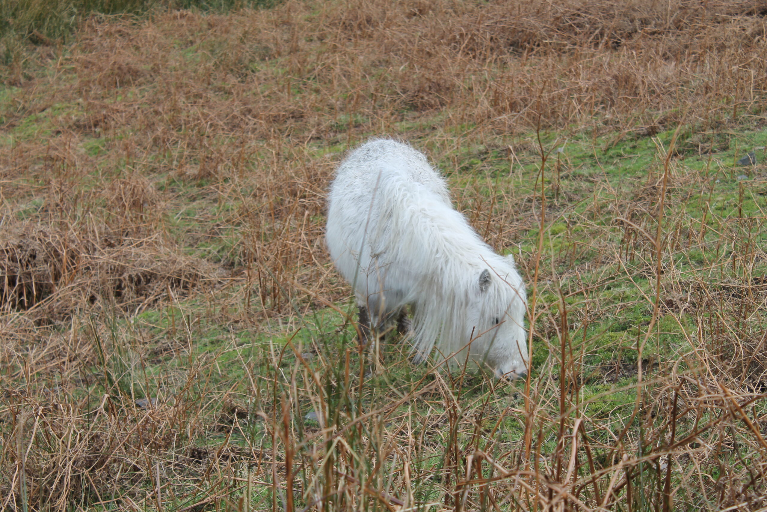
Theo was beginning to look like a mobile snowman, in need of wipers for his spectacles. We pushed on, towards a distant shadow that resolved into three ponies standing heads down, bottom to the wind. Roughly two dozen wild ponies live on the Long Mynd, descendants of ponies bred for lives in the pits. Zeno himself would have been impressed by their stoicism.
A pony on Long Mynd
Winding back down into the valley, we passed the icing line. Above, the world was white, dangerously blessed, but below colours returned, a car drove down a clear road and life continued as normal. We walked into the café like creatures of dream, frost flaked ghosts. A woman and boy looked up and for a moment I didn’t recognise my wife and younger son and they didn’t recognise me.
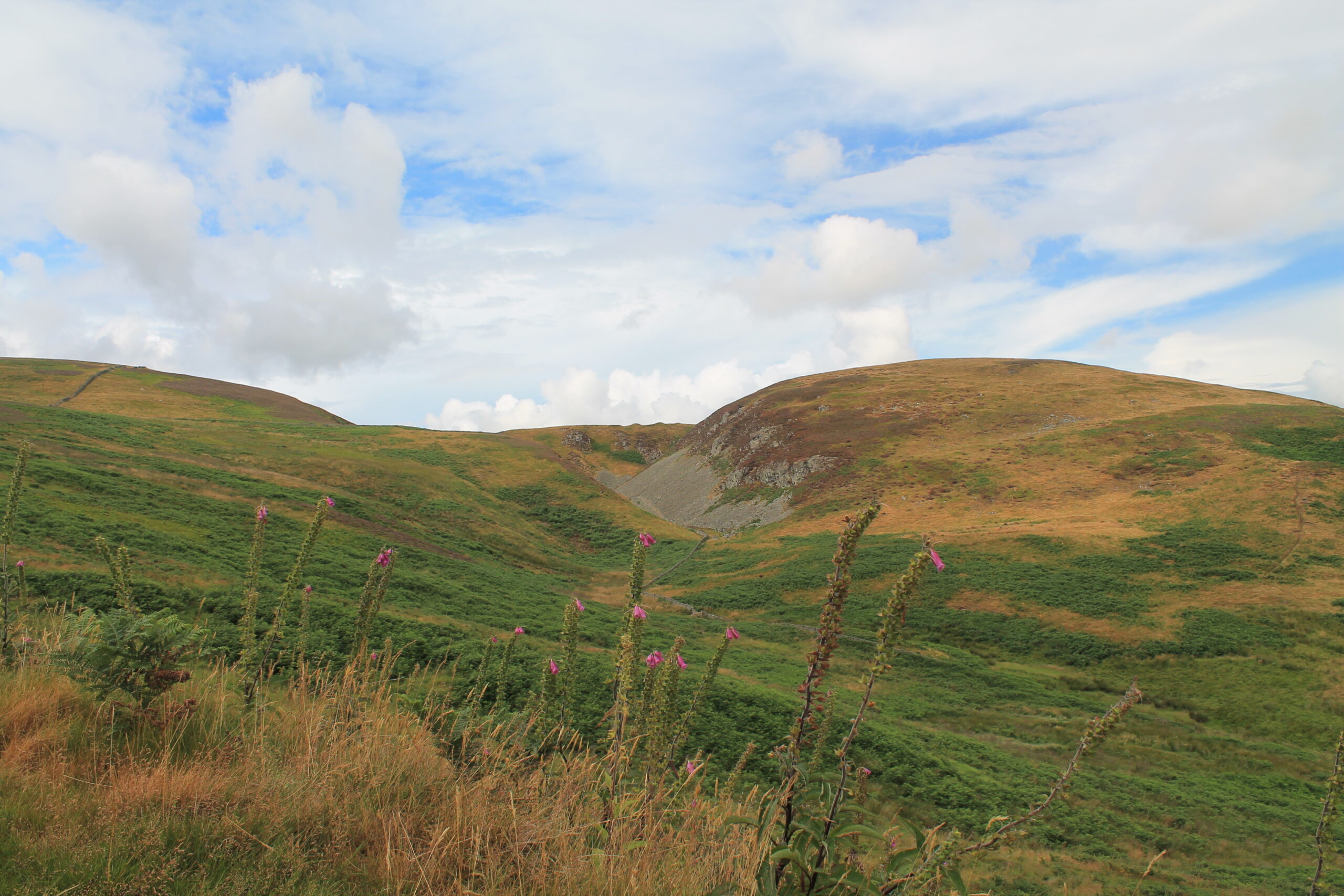
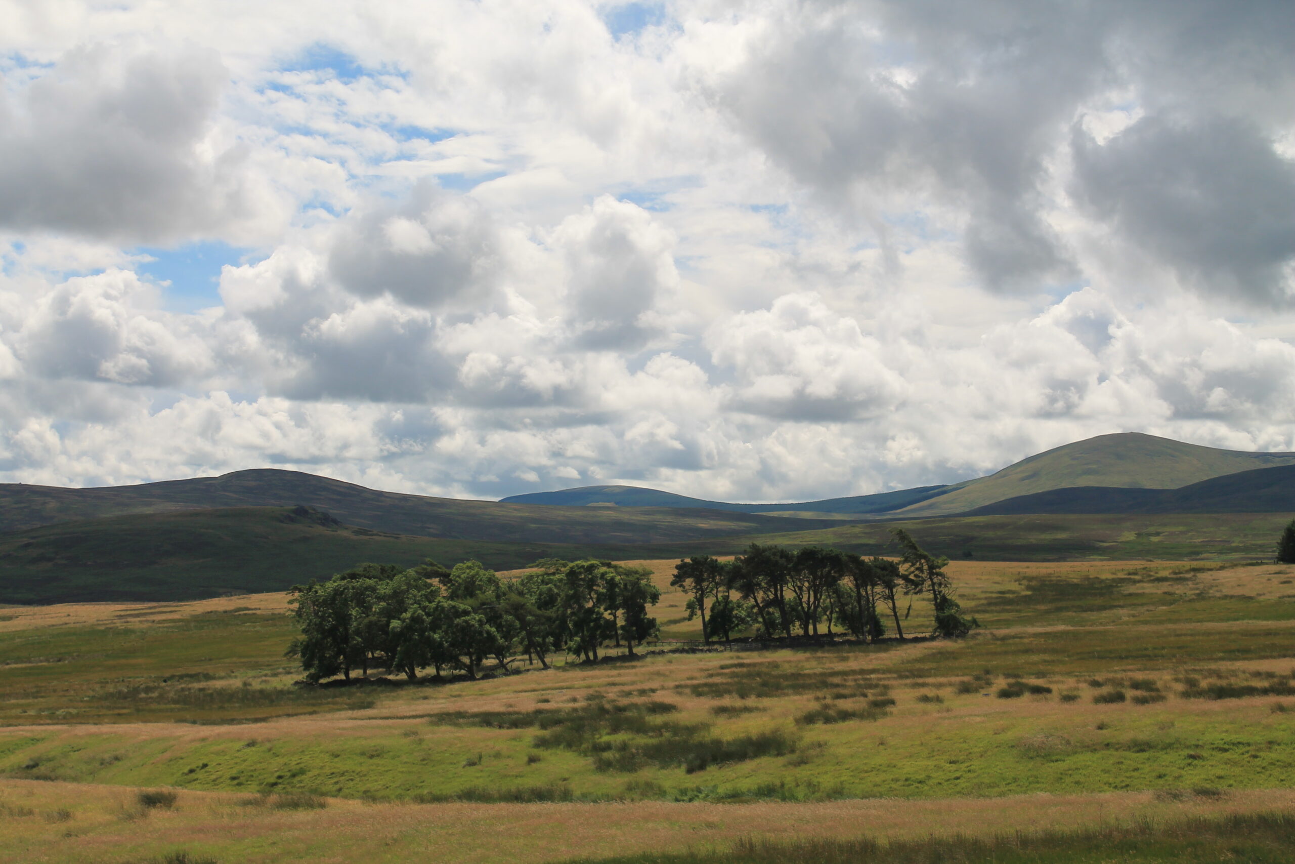
‘In Northumberland alone, both heaven and earth are seen.’ So wrote the historian GM Trevelyan and, if hell is other people, then the reason for this quickly becomes clear. There’s no one else around. Northumberland’s 1,936 square miles are the most sparsely populated in England, and less than 2,000 people live within the 405 square miles of the Northumberland National Park. If that doesn’t give you sufficient air to breathe, the Cheviot Hills are the least visited part of the least visited national park in England. Is that space enough?
So, it’s empty, but is that it? Is there any there, there? Well, if adjectives like solitary, windswept and bleak fill you with anticipation rather than a desire for a Martini and decent reception for your mobile phone, you may just have found your earthly paradise. After all, in these crowded islands, a place where you can walk all day and not see another soul is precious.
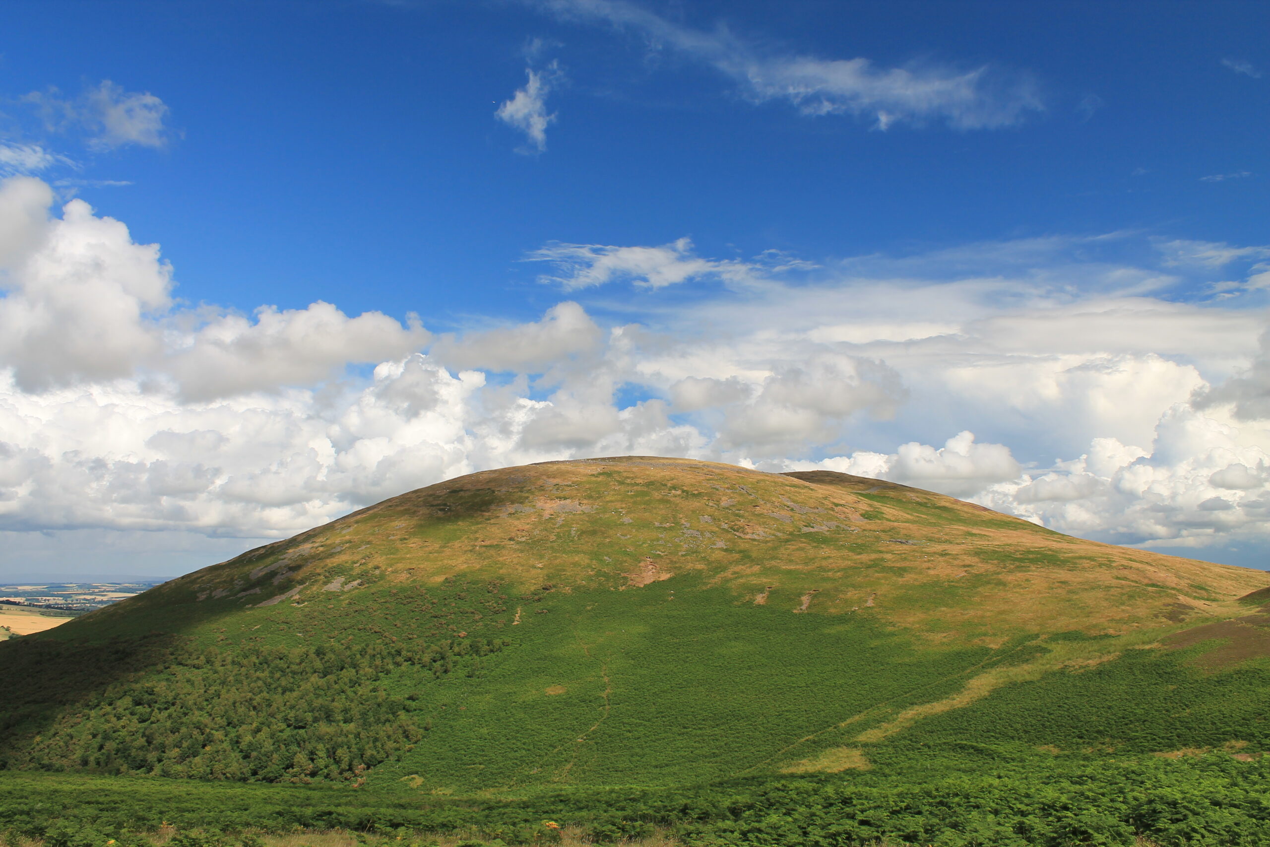
Now, the normal practice in a travel article would be to write about the geology (worn-down volcanoes and built-up silt), archaeology (hunters, gatherers, hill forts) and history (the Romans came, looked around and went back behind the Wall) of the area, but while all of this is valuable it’s not the best way to convey an idea of the Cheviots. For this is a land of impressions, of cloud shapes cast upon hills of green and brown, and its essence lies in the waving flags of cotton grass, the brief blaze of heather and the fleeting glory of hay meadows. It’s a paradox of place that these smooth-backed hills leave fragmentary images in the memory: tangles of wool dangling from hollowed-out gorse bushes like tattered beards; flowers small and bright as stars speckling the grass.
But before we climb up to the high places, let’s look around. The hills are demarcated by heather and bracken, plantations and moors, but most of all by dry stone walls. These are so much a feature of the environment that it’s easy to overlook what an extraordinary exercise in hard labour and applied topology they represent. The illiterate labourers who made them would be worthy of a chair in mathematics at Cambridge University today, such was their ability to add irregular, multi-sided objects together and make a smooth-sided wall.
Of course, the other great shapers of the landscape are the self-powered mowers that bleat. Sheep speckle the hillsides and lonely walks (and every walk in the Cheviots is lonely) produce curious musings about the creatures. Venture up on to Housey Crags on the way to the distinctive round top of Hedgehope and the large amount of sheep droppings reveal that the beasts must have a desire for romantic vistas and breezy landscapes to match the most athletic of the Romantic poets. It can’t be the grass, there’s bugger all to be found on these exposed rocks.
Mind you, sheep aren’t the only ones to frequent the hill tops. Our Iron Age ancestors studded the area with their dwellings, but we still don’t know why they switched to building hill forts around 500BC, nor the reason for constructing them in such high and exposed positions – defence, prestige, both? – but one thing quickly becomes apparent when labouring to the top of Yeavering Bell or Brough Law: they must have had thighs like tree trunks.
That walk to the hill fort on Yeavering Bell in particular produces musings on the fate of Ozymandias (‘Look on my works, ye mighty, and despair’), for the climb begins at the site of Ad Gefrin, the palace of King Edwin that Bede chronicled in his history. It’s now a field. And sheep graze where the chieftain of Yeavering Bell once sat, lord of all he surveyed. But then, maybe transience came as little surprise to that long-ago king. For even a high king’s orders must have sounded different when uttered in the heights. Try it yourself. Try speaking out loud when you’re alone on the hills. Your voice will sound different, like breath blown by the wind: quiet, fleeting, mortal.
Other, different, voices sound more at home here. The hay meadows of Barrowburn are heavy with the buzzing of bumblebees, while the whale backed ridge of The Cheviot – the singular hill from which the range takes its name – comes alive in summer with the song of the meadow pipit, singing as it labours upwards and then falls, trilling, away, or the skylark, diminishing to a black dot against the clouds, its voice filling the empty, windy wastes with bubbling, trilling, streams of music. But most of all, the high hills are the range of the ravens. If you’re lucky you might see a pair, riding the rolling air, or hear their extraordinary call, like two pieces of hollow wood being clapped together. The lower reaches are where their more voluble cousins, the rooks and the crows, abide, in gossiping, hurrying flocks, looking rather like the crowd at a Sisters of Mercy gig.
The world has changed a great deal since people first came to the Cheviots. Then the Wild Wood was an encroaching threat on the scattered pockets of humanity, now it’s reduced to a few preserved islands in the sea of humanity. The hills stand largely bare in a sombre, grave landscape of muted greens and browns. They don’t invite you. They don’t even notice you. But should the press of people become too great, the endless procession of anonymous faces too numbing, then come here, stand upon a cloud-flecked hill and hear the voice of the wind. You’ll be the only one listening.
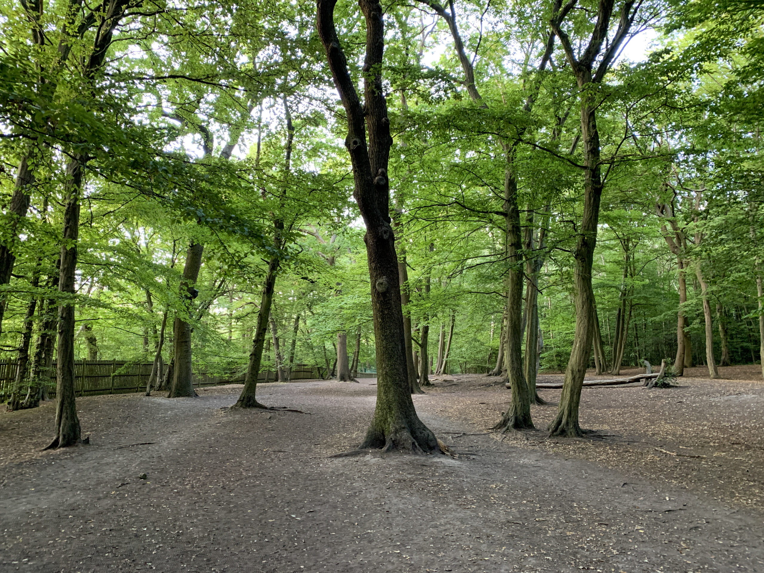
It’s pushing it a bit to say Epping Forest is in London, but it certainly borders the city. And as for suburban woods, this is the big one: a forest rather than a wood. There are nearly 6,000 acres of woodland, interspersed with heaths and lakes and rides. The wood formed after the last Ice Age and is mainly oak, beech and hornbeam. Watch out for the massive branches of previously pollarded trees, left to grow since the passing of the Epping Forest Act in 1878. Hidden among the trees are two Iron Age earthworks, Ambresbury Banks and Loughton Camp, their banks and ditches still distinct two and a half millennia after they were first dug. The ditches in front of the banks were originally 10 feet deep, and the banks 10 feet high, making formidable defences. Local legend places Boudicca’s last stand against the Romans at Ambresbury Banks.
Aerial view of Holland Park
Holland Park
Although Holland Park is one of London’s grand formal parks, there is a surprisingly extensive wood in its northern half. Set off down one of the shaded paths and within a minute the sounds of urbanity are muffled and then all but disappear. It’s a surprise how far away the city can seem here. There’s also a lovely Japanese garden, as well as a café and excellent, age segregated play areas for children.
Highgate Wood
Highgate Wood/Queen’s Wood
Highgate and, on the other side of Muswell Hill Road, Queen’s woods are remnants of the ancient forest of Middlesex, which once covered most of north London and the now defunct county of Middlesex. The smaller Queen’s wood has the more diverse ecology associated with its predominant oak/hornbeam canopy – the rare wild service tree, a marker for the age of a woodland, is present throughout. Highgate Wood also has the wild service tree although less of them, so it’s no newly-planted forest, as well as a café, playground and playing fields. As a school boy, I fought imaginary battles among the trees with my friends.
Oxleas Wood
Shooters Hill Woodlands
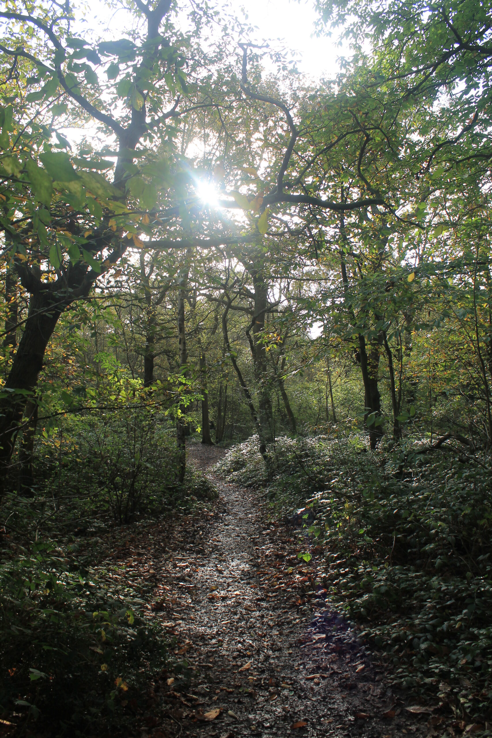
Oxleas, Jack and Shepherdleas woods, remnants of the post-glaciation wildwood that once covered the country, cover Shooter’s Hill with a mixture of oak, sweet chestnut and hazel, plus the tell-tale maple-like leaves of the wild service tree. The rare palmate newt lives in ponds in the woods. Walk it in the early morning for a shiver sense of the deep past that still lingers in the shadows under the trees.
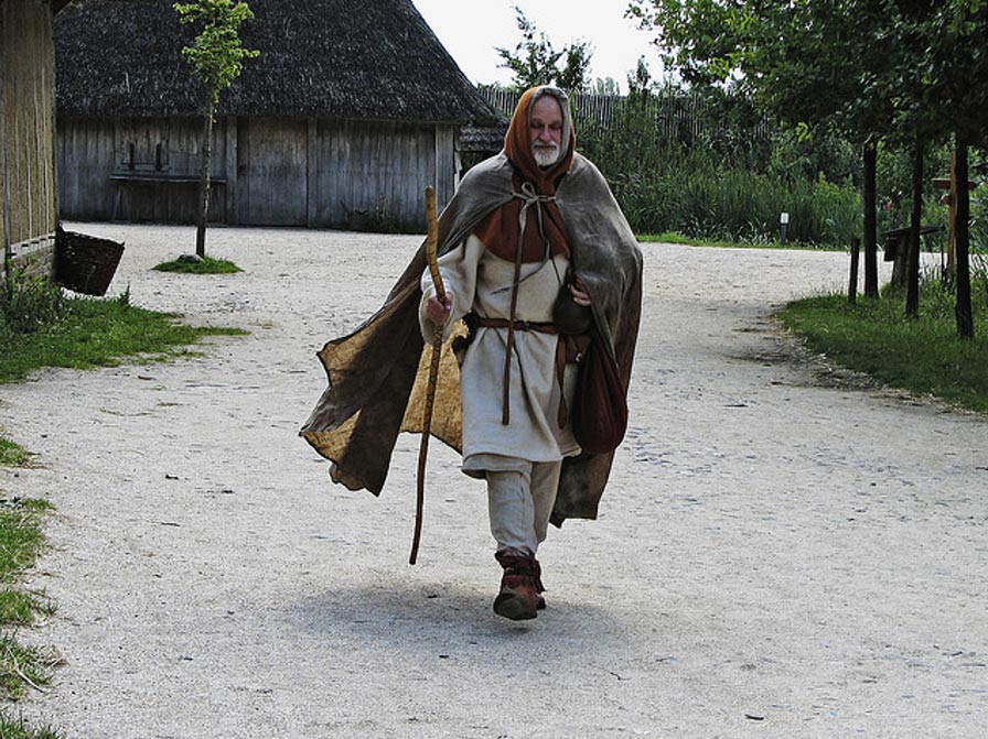
The conquest of Jerusalem in 1099 reoped the Holy Land to Christian pilgrims. Hearing the news of the success of the First Crusade, people started setting out for Jerusalem from all over Europe. One of the first was an Englishman, Sæwulf. On his return, he wrote an account of his travels and adventures. Pilgrimage was hugely popular during the Middle Ages and, as the Canterbury Tales attest, there were many motivations apart from piety for making such long and difficult journeys. However, Sæwulf was a serious pilgrim, who ‘though conscious of my unworthiness, went to offer up my prayers at the Holy Sepulchre’.
Having reached Italy, Sæwulf embarked upon a ship for the Holy Land from Monopoli, near Bari in the heel of Itlay on 13 July 1102 – only for the ship to be wrecked the same day. Not one to be put off, Sæwulf found another ship and tried again. It took thirteen weeks to sail from Italy to the port of Jaffa, with many storms and ports of call along the way.
With the Holy Land waiting, Sæwulf and his companions decided not to wait overnight on their ship of passage and hired a boat to take them ashore. Their fervour saved them. A storm blew up over night, wrecking the ships anchored in the harbour. A thousand pilgrims drowned without ever setting foot in the Holy Land.
In his account, Sæwulf recorded the dangers of the road from Jaffa to Jerusalem, telling of the pilgrims killed by the bandits who haunted the Judean hills. Their corpses marked the trail from the port to the holy city. Having survived the journey to Jerusalem, Sæwulf visited the holy sites of the city before travelling through the rest of Palestine, recording the devastation he found, with many of the churches and monasteries having been destroyed by the Saracens. Once he had ‘visited and paid our devotion at all the holy places in the city of Jerusalem and the surrounding country’, Sæwulf returned to Jaffa, embarking for his return journey on 17 May 1108. He had been in Palestine for nearly six years.
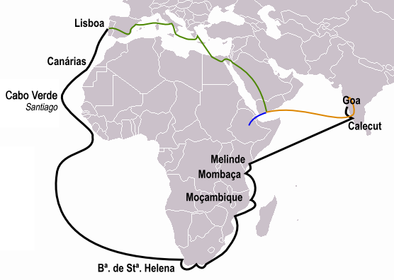
Pêro da Covilhã’s journeys shown in green, yellow and blue, Vasco da Gama’s in black
King John II of Portugal (1455-1495) was set upon furthering the work of his great-uncle, Henry the Navigator, and to that end sponsored many of the key Portuguese voyages that unlocked the secret of blue-water navigation and allowed a small country on the far west of Europe to found the first global maritime empire. But King John did not just send ships: he sent spies as well.
In particular, he dispatched Pêro da Covilhã, a low-born but multilingual adventurer, with orders to find the origin of spices such as cinammon and to contact the legendary Christian king, Prester John. Covilhã, with letters of exchange to pay his way, made his way to Alexandria, the entry port to the Islamic world and then, passing himself off as a Muslim merchant, he made his way to Cairo and then on to Aden.
From there, he took ship on a dhow across the Indian Ocean, arriving in Calicut, India. Taking notes on the Indian Ocean spice trade, Covilhã then returned to Cairo where he met emissaries sent by John II, giving them his report.
Now apparently bit by wonderlust, Covilhã explored Arabia, even entering Mecca and Medina in disguise as a Muslim pilgrim, before venturing across the Red Sea to Mount Sinai.
Rather than return home, the indefatigable Covilhã headed to Ethiopia, the Christian kingdom in the heart of Africa and the probable source of the legends of Prester John. The ruler, Eskender, received Covilhã well but refused to let him leave, although Eskender allowed Covilhã to write back to his king.
Thirty years later, a Portuguese embassy arrived in Ethiopia and met their countryman, still living in the court of the kings of Ethiopia. Covilhã wept with joy to meet them but the king of Ethiopia, while treating Covilhã well, would not give him leave to depart. Eventually, Covilhã died there, far from home, a traveller to the end.
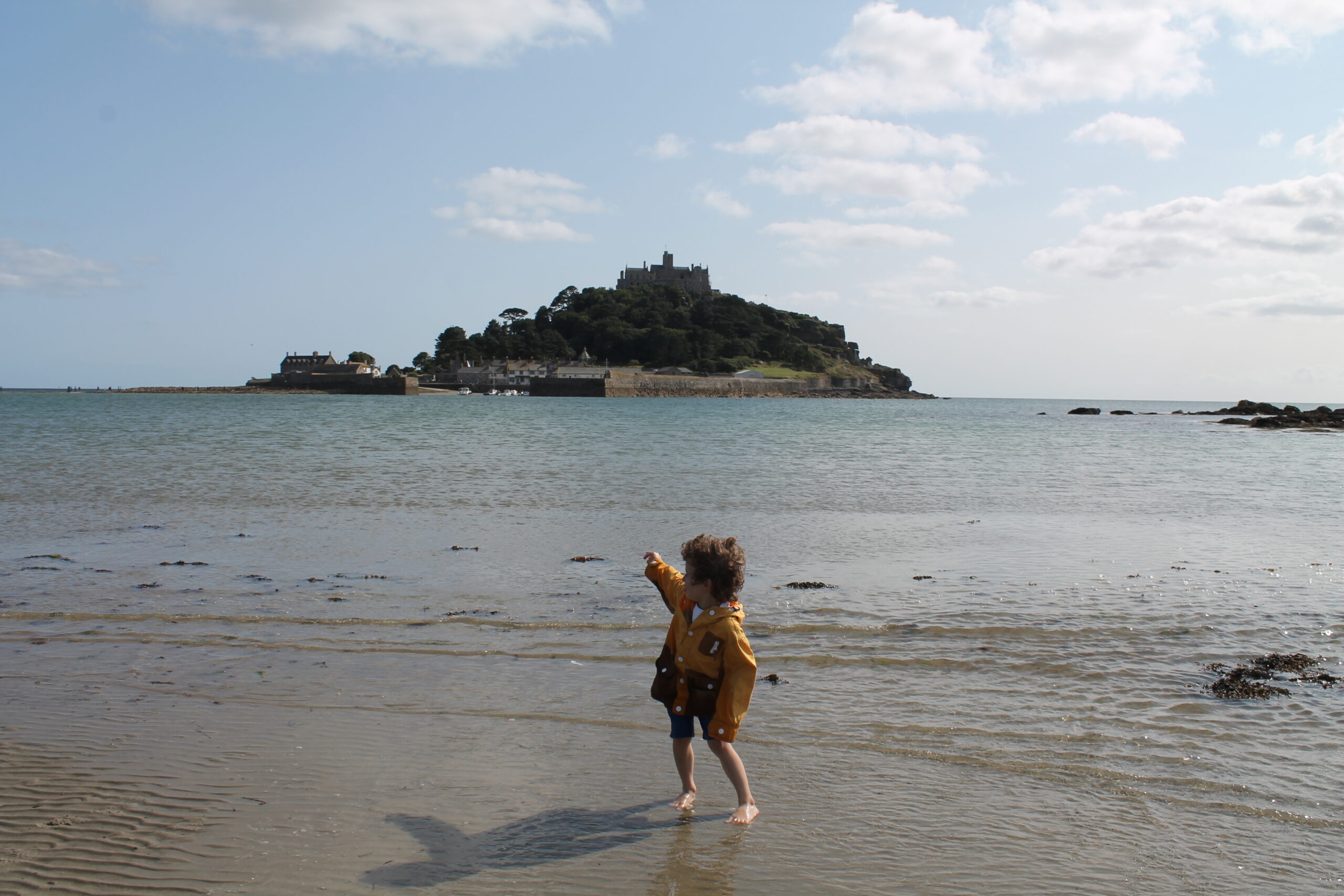
Lying east of Penzance, in the bight of sea between Land’s End and the Lizard, a rocky tidal island rises from the water. Now crowned with a castle rather than an abbey, St Michael’s Mount is the Cornish cousin of its cousin in Brittany, Mont St Michel. The story of how St Michael’s Mount was given and then lost by Mont St-Michel is fascinatingly twisty.
First, there is the question of whether the monastery on the island predated the Conquest. The monks there claimed it did, citing an ancient charter in which Edward the Confessor granted St Michael’s Mount to the Benedictines many years before William arrived in England. The problem with this claim is that the charter is, historians now agree, almost certainly forged. But, if so, it was forged by Norman monks who came over from Mont St-Michel after the Conquest. So why would Norman monks need to prove to Norman lords that they had long had title to a monastery that they might have expected those same Norman lords to give them?
Two answers have been proposed. Firstly, that by proving their ancient title to the land, the community on St Michael’s Mount would free themselves from the play of great lord politics, with its shifting alliances and occasional spectacular falls. With title to their monastery, the monks of St Michael’s Mount would be able to stand back and watch as spectators the clash of ambitions of powerful lords. The other, related, proposal is that the charter was forged as ammunition during a dispute with the Norman lord, Robert de Mortain.
De Mortain was half brother to William (they shared a mother) and one of his key allies. He was a member of the councils that agreed to William’s plan for invasion, he provided 120 ships and he fought at the Battle of Hastings. In return, De Mortain was given Cornwall. There is a charter, with copies surviving in Exeter and Avranches, which gives St Michael’s Mount to the abbey of Mont St-Michel in De Mortain’s name. A later dispute apparently developed between the monks of St Michael’s Mount and De Mortain over the ownership of the manor of Truthwall, and this may have led the monks to assert their ancient and immemorial rights – even if this required a little finessing of the past.
Whatever the truth of the matter, the Hundred Years’ War broke the connection between the houses on either side of the Channel. Henry V made the definitive break in 1414, giving St Michael’s Mount into the keeping of Syon Abbey. The monastery itself was broken by England’s greatest vandal, Henry VIII, when he appropriated the country’s monastic inheritance and the mount became a coastal fortress. It served as such through the centuries – pillboxes mark its most recent defences during World War II – but it is now one of Cornwall’s main tourist destinations, accessible via causeway at low tide, or by boat the rest of the time.
Leonardo Loredan, doge of Venice from 1501 to 1521, as painted by Giovanni Bellini
In the dangerous, chaotic centuries after the fall of the western Roman Empire there was safety to be found on the little islands hidden among twisting waterways and shifting channels. No city is as much a product of its geography as Venice. Set on islets and mudbanks in the lagoon, the lagoon is itself sheltered and protected from the Adriatic Sea by a long ribbon of narrow islands, including the Lido and Pellestrina. Cut off from mainland Italy by almost impenetrable marshes, Venice provided both home and refuge, but at a price. For through the Middle Ages and on into the Renaissance, wealth was the product of land ownership: the rich and the powerful were the great landowners. Land produced food and supported men, in particular the soldiers required to cement power. But almost all of Venice was water. The peril for the people who had taken refuge in the lagoon was that they had traded peril for poverty.
With no agricultural hinterland and no natural resources other than fish and salt, the Venetians had no choice but to trade. Which was where their island homes came in: for having to learn the ways of the sea in order to exist, they turned their mastery of ships into their fortune. The Venetians lived by and for trade. Everything was done for the honour and profit of the Republic – and if it came down to a choice, then profit won every time. The Venetians had no choice but to rely on their wit and their skills if they were to earn their living amid the competing, often violent, kingdoms that surrounded the Mediterranean. Such was their success in doing so that other peoples looked on them with amazement and considerable suspicion. But the Venetians did not care, so long as it brought honour and profit to their city.
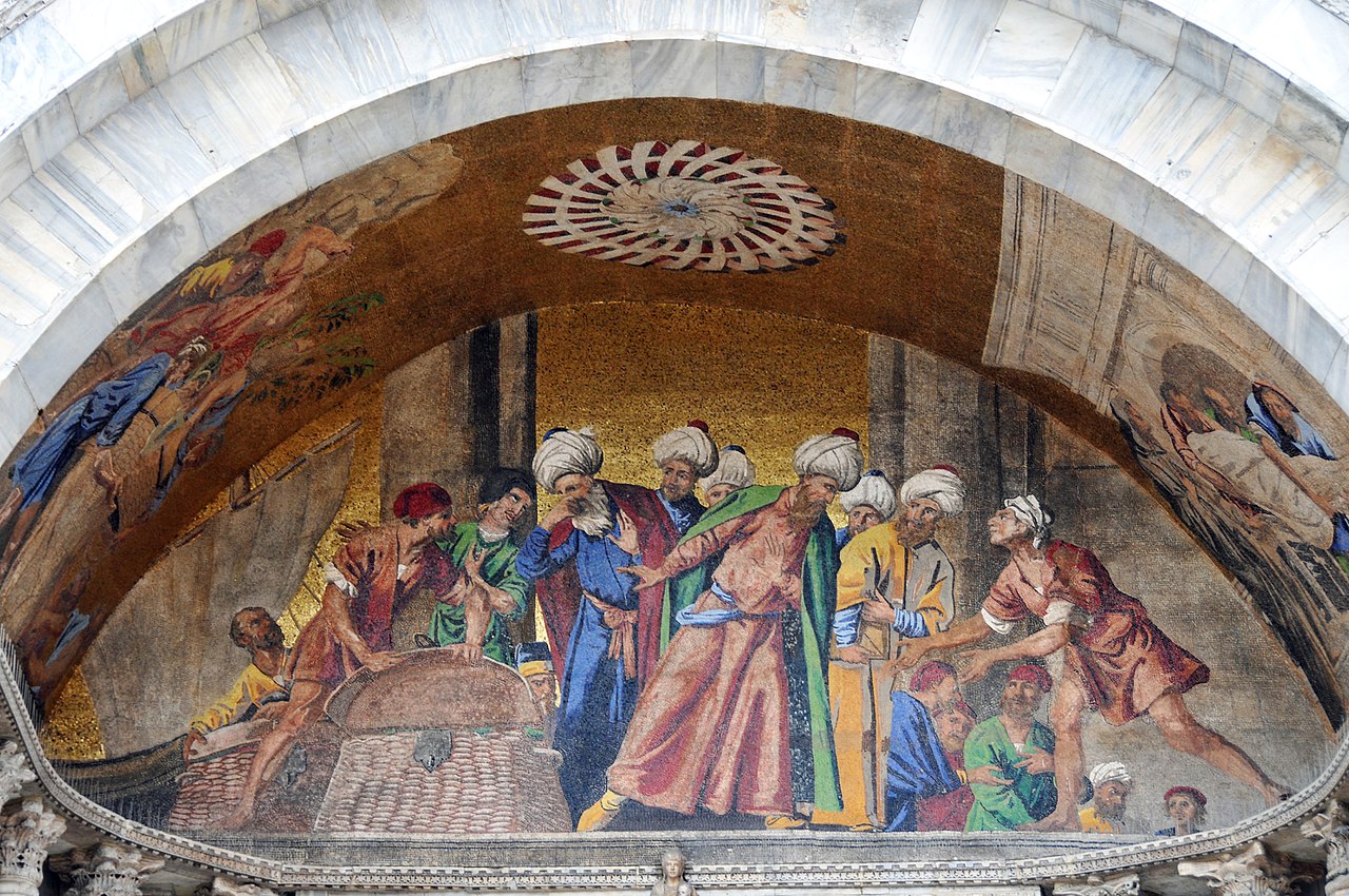
The mosaics on the front of St Mark’s Basilica tells how the saint came to Venice
In 828, two Venetian merchants, Buono of Malamocco and Rustico of Torcello, were in Alexandria doing business. Alexandria had been conquered by Muslim armies and in 828 it was under the control of the Abbasids. Speaking to the priests of the church of St Mark in Alexandria, Buono and Rustico learned that the priests feared for the safety of the relics of the saint that they kept in the church, and indeed their own safety under the Abbasids. Hearing this, the Venetians offered the priests safe passage back to Venice – at the price of bringing the body of St Mark too. The priests agreed and, taking the body from its sarcophagus and replacing it with a less eminent corpse, they put the saint’s remains in a chest, carefully covering the body with a layer of salt pork and cabbage, before loading the chest onto the Venetian ship. Before setting sail, Muslim customs officials came on board to inspect the cargo but, seeing the pork, they recoiled in horror without digging any deeper. Safely out to sea, the saint’s body was taken from the chest and placed in honour on deck, surrounded by thuribles and candles. And so St Mark came to Venice, where he swiftly supplanted the city’s previous patron, St Theodore, in the affection and devotion of Venetians. Mark had arrived by sea and it was to the sea that Venice looked for its fortune; it was a fortuitous, or providential, arrival.