How to Sail Around Africa
Prince Henry the Navigator (1394 – 1460) was the Portuguese prince who first co-ordinated Portuguese efforts to explore down the West coast of Africa. Henry hoped both to find a route to the Indian Ocean and to make contact with Prester John, who was said to rule a great Christian kingdom in the east. The Portuguese had fought a centuries-long struggle to reclaim their land from Muslim invaders. Now Henry aimed to outflank the Muslim world, claim its lucrative Indian Ocean spice trade and make alliance with Prester John.
To that end, Henry sponsored a succession of voyages down the coast of Africa, each marking a new southerly furthest point before returning with geographical and navigational information for other navigators and for the geographers who were assembling in Lisbon. During the 15th century Lisbon became a nexus for geographical information, where news and discoveries were shared (as well as being jealously guarded from other powers). By Henry’s death, the Portuguese had explored south as far as present-day Sierra Leone, as well as discovering Madeira and the Azores, previously unknown islands in the great Ocean. The Portuguese were beginning to outstrip Ptolemy in knowledge.
The final steps to opening up the world took place under the rule of John II (1455 – 1495). For the Portuguese, John would pass into history as the Perfect Prince. Even his rivals acknowledged his natural majesty: Isabella, Queen of Castile and then of the united monarchies of Castile and Aragon, simply referred to John as ‘El Hombre’ (‘The Man’). During his reign, John sponsored the naval expeditions that would, finally, solve the great navigational conundrum that had stopped the Portuguese advancing further south down the coast of Africa.
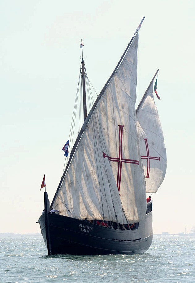
The problem was the wind. In the Gulf of Guinea, that great bite into the side of Africa, the winds became unreliable and often died away to calm. Exploration by coast hopping became stifled. To get further south required better, steadier, stronger winds. These winds were available, out in the ocean. So rather than inch down the coast, Portuguese navigators trimmed their sails, set their compasses and, having reached as far south as Guinea, headed out into the open ocean. In caravels measuring between 12 and 18 metres, they sailed for days, sometimes weeks, across empty ocean, first south west, then due south until, reaching the lower latitudes, they steered east again. They were literally sailing into the unknown.
Following this course, Bartolomeu Dias eventually reached and passed the Cape of Good Hope in 1488, opening up the Indian Ocean and definitively proving Ptolemy’s geography wrong. But also, and unknown to these first navigators, the south west course was bringing them towards a continent previously completely unknown in the Old World: the Americas. Christopher Columbus, selling his services to the rival crown in Castile but employing a Portuguese navigator, attempted to use this new navigational technique to find a westward route to the east. But, instead, he found a New World.
The Age of Discovery had well and truly begun.
0 Comments