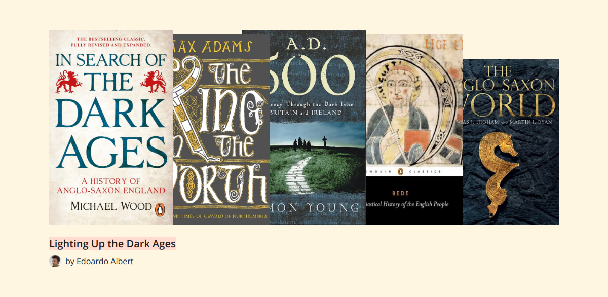
Booklisti has just published my list of five books to lighten up the Dark Ages. Go here to see why I chose these books and why you should read them.
Booklisti has just published my list of five books to lighten up the Dark Ages. Go here to see why I chose these books and why you should read them.

As a child, Rob Henderson was in the running for the I’ve-had-it-worse-than-you cup. His mum was a drug addict. Father unknown. Shuttled through various foster homes. Adoptive parents split up, using him as their battleground. Small town America, little to no money, and zero prospects.
The children Henderson grew up with didn’t have much in the way of choices; for most, it resolved to drugs or crime. Henderson, however, took the only other real option: enlistment. He joined the US military.
As with many others, the military began to give Henderson some of the structure his chaotic home life had always lacked. Couple that with a formidable natural intelligence, and Henderson began to make his way out of the milieu into which he had been born. On leaving the military, he was able to enrol in college where his intelligence finally had an outlet. Henderson excelled. After completing his degree, he went on to do a Masters at that most Ivy League of American universities, Yale.
Henderson had arrived among the intellectual elite. The people whose parents and professors made the policies that affected the people he had grown up among. And, basically, he discovered that they were completely clueless. They had not the slightest idea of the effect of the ideas they espoused. Almost all his peers came from intact, two-parent families but all of them argued that there was no reason to say that was better than single-parent families. Their other ideas similarly championed personal and sexual freedom and licence, while they themselves generally belonged to conventionally moral families.
In short, they lived morally conservative lives while espousing complete libertinism.
And they thought this was the right thing to do, not because of its effects on the poor but because it brought them status among their peers. Henderson slowly realised that, as markers of their own status, his peers at Yale were propounding luxury beliefs, a set of ideas that marked them out as different from other, lower-status Americans.
Social status is something that goes deep into our evolutionary past. It was literally a matter of life or death. Now, though, to signal status, when everybody can own a Rolex or an indistinguishable replica, something else is needed because luxury goods don’t do it. The marker for superior social status today is not what you have but what you believe. And who cares what effect that has on people who can’t buy their way out of a husband leaving home or an addiction leading to the loss of a job?
Well, Rob Henderson does and his evisceration of our current ‘elite’ is as measured and savagely polite as any I have read. Read this book. It might be the most important of the last ten years.
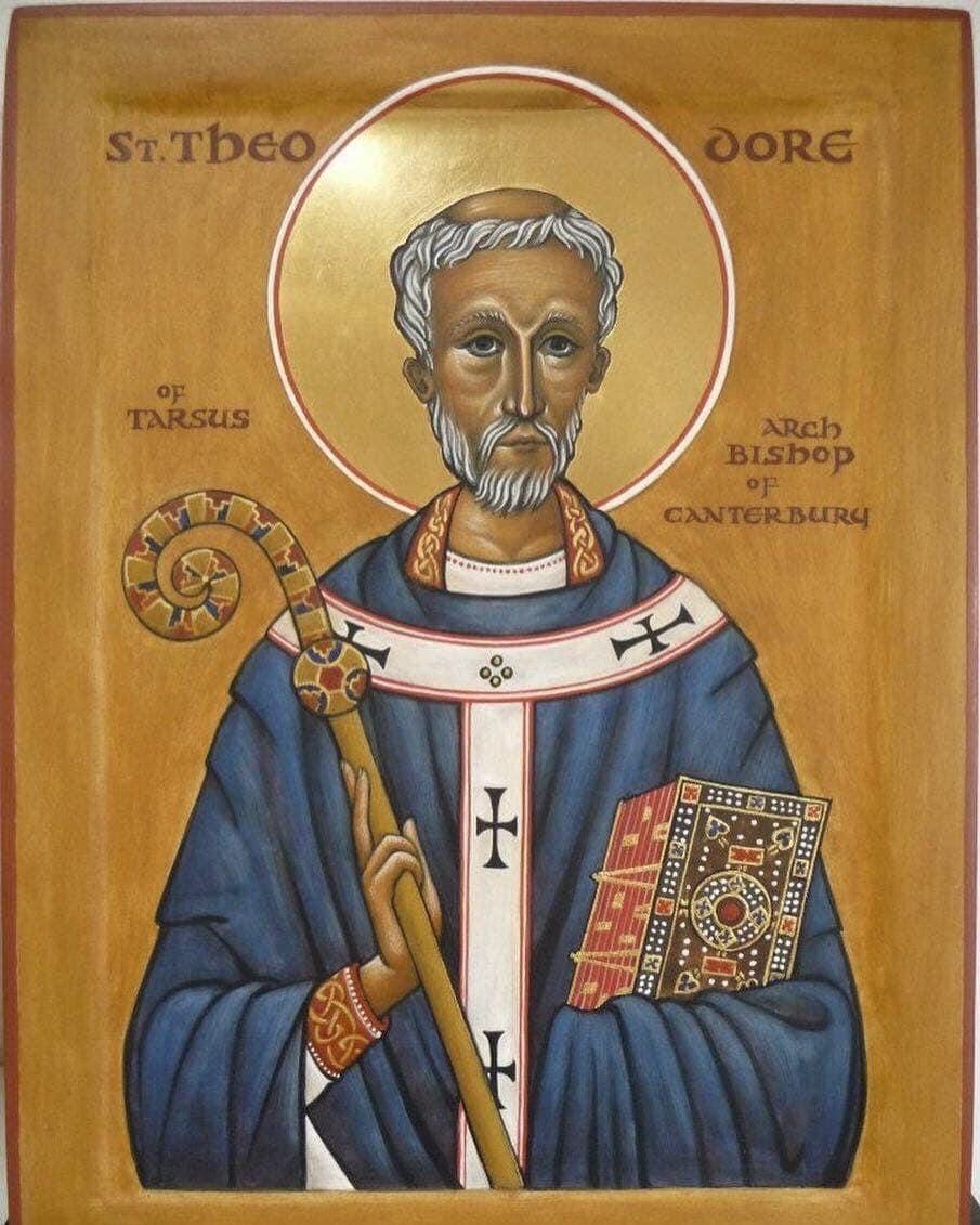
As for the Christian church in Britain, shortly after the Synod of Whitby it took an unexpected but extremely important international turn. The Archbishop of Canterbury designate went to Rome to be confirmed – and died, before either confirmation or return.
With the See of Canterbury empty the pope decided to dispatch a truly wild card to Britain to take over as Archbishop of Canterbury. The man he chose was already in his 60s: Theodore of Tarsus was Greek and steeped in classical and patristic learning. Accompanying him was a North African, Hadrian, who was equally learned.
This pair of international scholars established a school in Canterbury that inaugurated a new age of learning among the Anglo-Saxons.
The insular world of the Anglo-Saxons was bursting open. A young boy by the name of Bede, growing up in Northumbria, took that knowledge and made it his own and that of his countrymen.
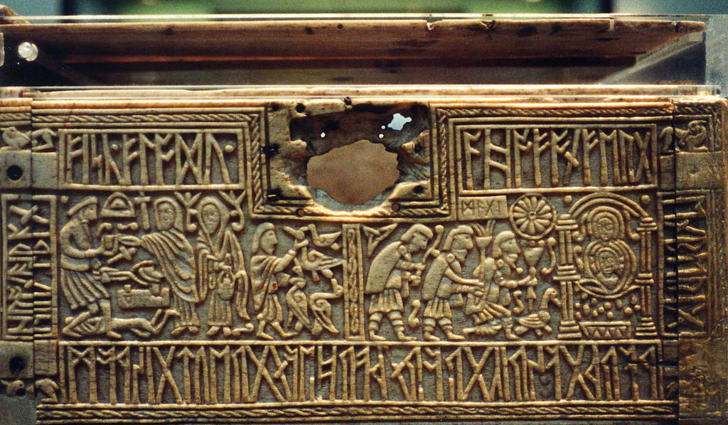
With the destruction of the kingdom of the Isle of Wight, the old religion was officially dead.
Of course, belief in the old gods and some of the old practices lingered on in places. But the chroniclers of this new age in Britain, the monks of the new god, had little interest in recording either the beliefs or the practices of the old religion.
What we know for sure of Anglo-Saxon paganism is minimal. Most of our purported knowledge either predates the Anglo-Saxon arrival in Britain, coming from Roman reports on the religion of Germania, or postdates it, derived from the work of Scandinavian and Icelandic scholars from the 12th century onwards recording the myths and legends of their forefathers. How closely either of these related to the lived pagan religion of early medieval Britain we simply don’t know.
Dear Friends and Gentle Readers, may I wish you all a very happy New Year!
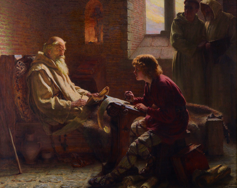
This coming year, the jubilee year of 2025, should be interesting. My new, non-fiction book about the Venerable Bede will be published this year, probably in the late summer or early autumn, by Birlinn. It will be called Bede: the Invention of England and I am very excited about it: it tells the story of the man who, basically, invented a country that did not yet exist. Not only that, Bede established the BC/AD calendar that has become universal, wrote the key history of his time and became the model for the life of the scholar. So there’s lots to tell about a man who, basically, moved to a monastery when he was seven and stayed there for the rest of his life.
I am also writing a biography of the great 16th Italian military engineer, Gabriele Tadino, to be published by Osprey. Tadino’s was a life so ridiculously full of adventure that you wouldn’t believe it if you read it in a novel. I’m also excited to write about another key period in history, when the old world of the Middle Ages broke and a new age began. Also, being half Italian, it’s great to write about an Italian!
This biography will be a great sequel to my historical fiction novel, The War for the Heart of the World, which tells the story of Gabriele Tadino and the siege of Rhodes in 1522, when Suleiman the Magnificent and an army of 100,000 Ottomans attempted to batter down the walls of Rhodes, manned by the Knights Hospitaller, the last crusading order of military monks. It’s knights in armour versus cannons and guns – and it really happened!
The War for the Heart of the World will be published in the summer, so keep an eye open for it.
I have also written some short stories set in Anglo-Saxon Britain, looking at different aspects of the changes that took place during those centuries. I am just looking to see how best to publish these stories.
And, time permitting, I also hope to finish a new historical fiction novel telling the story of Benedict Biscop, The First Pilgrim.
So, a lot to look forward to this year! I hope 2025 brings you all every joy and blessing.
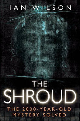
Is it? Is the long linen cloth held at Turin Cathedral the actual burial shroud that his grieving followers wrapped Jesus’s body with after his crucifixion?
That’s what this book sets out to answer and, basically, its answer is, “Yes, it is.”
For myself, I think the case is both weaker and stronger than the one Ian Wilson presents. It’s weaker historically: it’s very hard to get from the Shroud’s first verifiable appearance in the historical record, in 1355 in the unlikely setting of Lirey, a village in France, to the original shroud via its presumed preservation after the Resurrection, through centuries of Roman persecution, then to Constantinople as a holy relic and then a long hiatus after the Sack of Constantinople in 1203 before its eventual reappearance in France.
However, the case is stronger for the image itself. None of the proposed techniques for producing an image like the Shroud come close to the image itself. There were no artists at the time capable of producing an image of this nature. And no contemporary forger would have put the nails through the wrists, for all crucifixion scenes of the time assumed that Jesus had been nailed through the hands, not the wrists.
So the Shroud remains a mystery. If it is a forgery, then it’s forgery would be almost as miraculous as if the Shroud were, indeed, the burial cloth of Jesus. If it’s genuine, then… Everything changes.
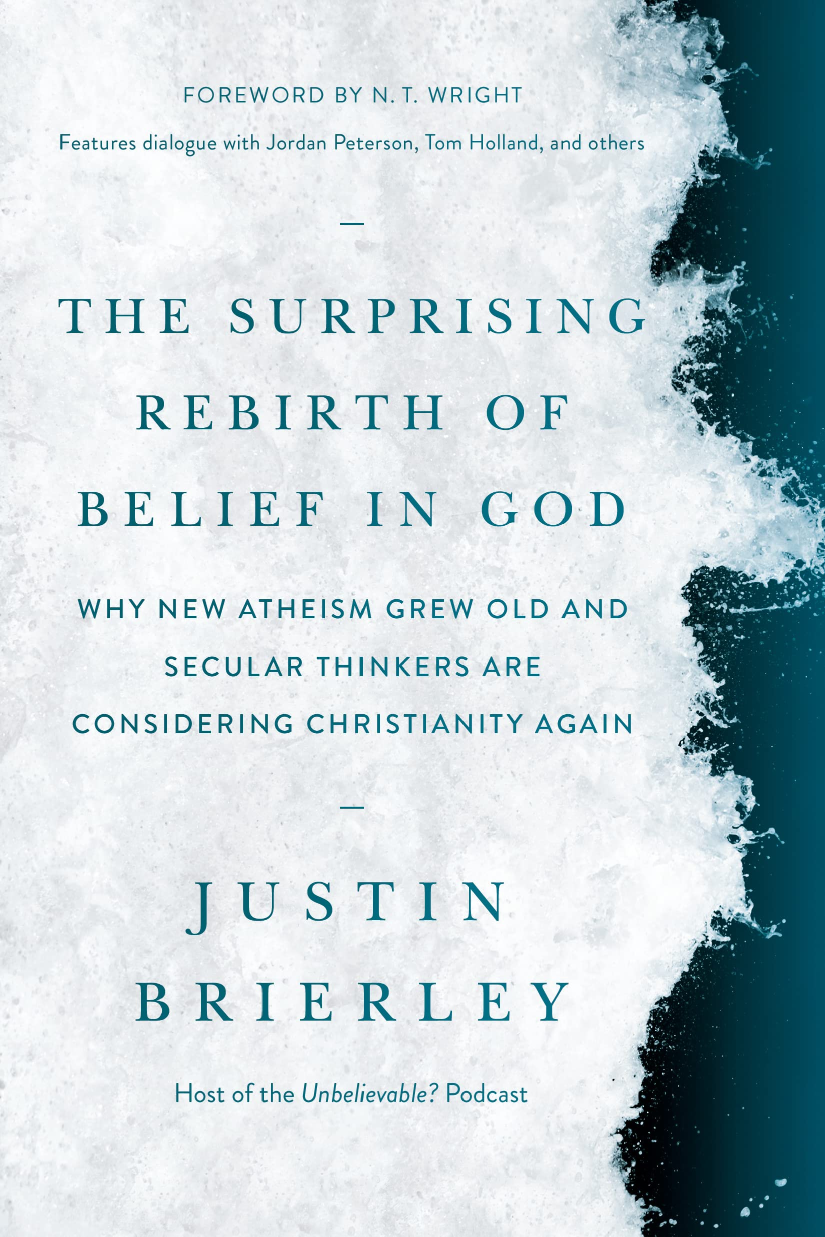
Matthew Arnold’s poem, Dover Beach, laments the long withdrawing roar of the Sea of Faith, the tide of belief slowly receding.
But the thing with tides is, they go out and then they come back in. And, less obviously, tides go in and out at different times in different places. In Britain, religious belief has been in decline for the last half century or so. The same is true of much of Europe. But elsewhere, notably in Africa and China, the opposite is the case.
Justin Brierley has been hosting a podcast where he brings together notable atheist and religious thinkers and has them talk, in a civil and constructive manner. And over the decade or so he has been doing this, he has seen, as have I, a distinct change. The millennarian stridency of the New Atheists has lessened to an appreciation of the human value of shared religious belief: no less an atheist than Richard Dawkins now accepts the cultural value of Christianity to the England that he loves.
Other thinkers, such as the historian Tom Holland, have highlighted how the entire foundations of even the most secular Western thought are built upon Christian foundations. The concern for the victim that underlies much modern thought comes entirely from the Christian view of the sacrificial value of the pure victim that is Christ himself.
Apart from Tom Holland, other intellectuals are coming round to the idea of the value of Christianity, such as Niall Ferguson. Outside intellectual circles, it’s interesting to note the increasing number of Premier League footballers who put faith at the centre of their life, privately and publicly, such as Bukayo Saka, as well as celebrity conversions such as Russell Brand.
All these suggest that we may have reached the turning of the tide. Combine this with the fact that atheist and agnostic couples have significantly fewer children than religious couples, and it suggests that the 21st century will see not the death of religion but its rebirth – even in the supposedly secular West.
I think, in this book, Dan Abnett may have invented a new genre: medieval baroque. Penitent combines the medieval, military SF tropes of 40k fiction with a gorgeous, lush baroque sensibility, rather as if Edgar Allen Poe took to writing 40k after a particularly stiff dose of laudanum.
It’s interesting looking at the spread of reviews about this book online. Most are positive – and mine will be too – but there are two significant subsets who loathe it. First, the extreme Turkophiles, for whom any history of the Ottomans that does not paint their empire as an unalloyed good and a general beacon of good governance, and secondly, the Armenian apologists, who lament Goodwin’s skating over the Armenian genocide. Of the two, the Armenians have the greater reason to be annoyed; the Turkophiles will never be satisfied.
For myself, I found it the most thoroughly enjoyable one-volume history of the Ottoman Empire that I have read, and I highly recommend it.
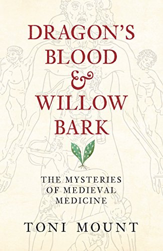
An interesting compendium of the various treatments and cures provided by medieval doctors. As it turns out, they were much better in some areas, in particular the treatment of battlefield injuries, than you might expect: men survived some truly horrific injuries and lived to fight another day. However, there was a little too much of the old and tired trope of the Church banning research. Nevertheless, a good research book for the period.